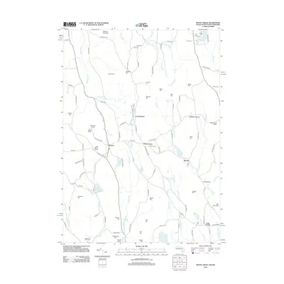
2012 Map of Mount Grace
USGS Topo · Published 2012About this map
Warwick and its surrounding hill country define this survey, showing the complex network of upland settlements and water resources in the early 21st century. The landscape is marked by historic focal points such as Mayo Corners, Blissville, and Baptist Corners, while the northern portion reaches across the state line into New Hampshire near Jesse Brook. Local history is anchored by several cemeteries, including Warwick Cem and the South Cemetery, providing valuable points of reference for genealogists. Water management and early industrial sites are evident at Richards Mill Pond and Richards Reservoir, situated along the course of Black Brook. The southern extent transitions toward North Orange, where Tully Mountain and Tully Meadow dominate the terrain near the West Branch Tully River. Family-named landmarks like Whipple Hill and Chase Hill Farm offer insight into the long-standing agricultural and residential patterns of the Franklin County region.
Find a feature on this map
124 named features on this map. Tap any name to fly to it.
Don’t see what you’re looking for? This feature index may not catch every label — zoom into the map to look around manually.
Map Details
Editions of this 2012 Mount Grace Map
This is the sole edition of this map. No revisions or reprints were ever made.
Other maps of this area

1887 · Warwick
USGS Topo · 1:62,500

1887 · Winchendon
USGS Topo · 1:62,500

1889 · Warwick
USGS Topo · 1:62,500

1890 · Winchendon
USGS Topo · 1:62,500

1894 · Winchendon
USGS Topo · 1:62,500

1894 · Warwick
USGS Topo · 1:62,500

1898 · Monadnock
USGS Topo · 1:62,500

1898 · Keene
USGS Topo · 1:62,500

1932 · Warwick
USGS Topo · 1:48,000

1932 · Winchendon
USGS Topo · 1:48,000