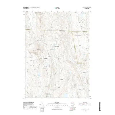
2018 Map of Mount Grace
USGS Topo · Published 2018About this map
Mt Grace stands as the central landmark of this upland terrain, overlooking a network of small settlements and brooks that define the Massachusetts and New Hampshire borderlands. The village of Warwick serves as a hub, surrounded by family-named hills like Whipple Hill, Ball Hill, and Flower Hill. This landscape is particularly rich for those researching local lineage, as it contains several distinct burial grounds including Warwick Cem, Perry Cem, and Barus Cem.
Find a feature on this map
117 named features on this map. Tap any name to fly to it.
Don’t see what you’re looking for? This feature index may not catch every label — zoom into the map to look around manually.
Map Details
Editions of this 2018 Mount Grace Map
This is the sole edition of this map. No revisions or reprints were ever made.
Other maps of this area

1887 · Warwick
USGS Topo · 1:62,500

1887 · Winchendon
USGS Topo · 1:62,500

1889 · Warwick
USGS Topo · 1:62,500

1890 · Winchendon
USGS Topo · 1:62,500

1894 · Winchendon
USGS Topo · 1:62,500

1894 · Warwick
USGS Topo · 1:62,500

1898 · Monadnock
USGS Topo · 1:62,500

1898 · Keene
USGS Topo · 1:62,500

1932 · Warwick
USGS Topo · 1:48,000

1932 · Winchendon
USGS Topo · 1:48,000