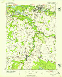
1953 Map of Mount Holly
USGS Topo · Published 1954About this map
Mount Holly and its surrounding townships in Burlington County are defined by the winding waterways of Rancocas Creek. By the early 1950s, the landscape was a mix of concentrated borough centers and specialized agriculture, evident in the Cranberry Bogs near Chairville and Bear Swamp River. The Pennsylvania RR cuts through the region, connecting hubs like Hainesport and Lumberton to the broader industrial network.
Find a feature on this map
60 named features on this map. Tap any name to fly to it.
Don’t see what you’re looking for? This feature index may not catch every label — zoom into the map to look around manually.
Map Details
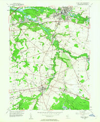
Editions of this 1953 Mount Holly Map
2 editions found
Other maps of this area

1888 · Bordentown
USGS Topo · 1:62,500

1888 · Pemberton
USGS Topo · 1:62,500

1888 · Mount Holly
USGS Topo · 1:62,500

1890 · Burlington
USGS Topo · 1:62,500

1893 · Bordentown
USGS Topo · 1:62,500

1893 · Burlington
USGS Topo · 1:62,500

1894 · Pemberton
USGS Topo · 1:62,500

1894 · Mount Holly
USGS Topo · 1:62,500

1898 · Pemberton
USGS Topo · 1:62,500

1898 · Mount Holly
USGS Topo · 1:62,500
Featured Places
- Mount Laurel Township, NJ
- Willingboro Township, NJ
- Medford Township, NJ
- Lumberton Township, NJ
- Mount Holly Township, NJ