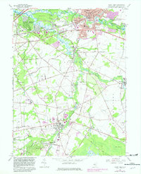
1967 Map of Mount Holly
USGS Topo · Published 1982About this map
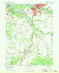
Mount Holly serves as a focal point for this Burlington County landscape, where the North Branch Rancocas Creek and South Branch Rancocas Creek converge. The mapping shows a region transitioning from its agricultural and milling roots, evidenced by names like Oliphants Mills and the Vincentown Millpond, toward mid-century suburban expansion. Significant institutional footprints are visible, including the County Memorial Hospital, the County Childrens Home, and the Armory near the center of the township.
Find a feature on this map
87 named features on this map. Tap any name to fly to it.
Don’t see what you’re looking for? This feature index may not catch every label — zoom into the map to look around manually.
Map Details
Editions of this 1967 Mount Holly Map
2 editions found
Other maps of this area

1888 · Bordentown
USGS Topo · 1:62,500

1888 · Pemberton
USGS Topo · 1:62,500

1888 · Mount Holly
USGS Topo · 1:62,500

1890 · Burlington
USGS Topo · 1:62,500

1893 · Bordentown
USGS Topo · 1:62,500

1893 · Burlington
USGS Topo · 1:62,500

1894 · Pemberton
USGS Topo · 1:62,500

1894 · Mount Holly
USGS Topo · 1:62,500

1898 · Pemberton
USGS Topo · 1:62,500

1898 · Mount Holly
USGS Topo · 1:62,500
Featured Places
- Mount Laurel Township, NJ
- Willingboro Township, NJ
- Medford Township, NJ
- Lumberton Township, NJ
- Mount Holly Township, NJ