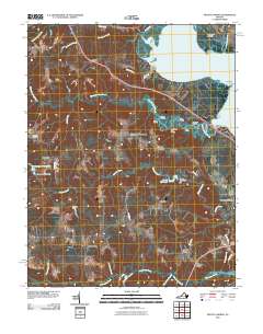
2010 Map of Mount Landing
USGS Topo · Published 2010About this map
Tappahannock and the surrounding Essex County landscape are defined by the wide Rappahannock River and its intricate network of tidal creeks and landings. This 2010 survey highlights a riverside economy historically dependent on water access, visible in the numerous small landings such as Salt Bank Landing, Baker Landing, and Persimmon Tree Landing. These points of access congregate near Mount Landing Creek, where the river’s shoreline is punctuated by Mulberry Point and Coopers Point.
Find a feature on this map
53 named features on this map. Tap any name to fly to it.
Don’t see what you’re looking for? This feature index may not catch every label — zoom into the map to look around manually.
Map Details
Editions of this 2010 Mount Landing Map
This is the sole edition of this map. No revisions or reprints were ever made.
Other maps of this area

1889 · Fredericksburg
USGS Topo · 1:125,000

1892 · Fredericksburg
USGS Topo · 1:125,000

1892 · Montross
USGS Topo · 1:62,500

1894 · Fredericksburg
USGS Topo · 1:125,000

1895 · Nomini
USGS Topo · 1:125,000

1895 · Montross
USGS Topo · 1:62,500

1898 · Nomini
USGS Topo · 1:125,000

1918 · Tappahannock
USGS Topo · 1:62,500

1918 · Aylett
USGS Topo · 1:62,500

1919 · Tappahannock
USGS Topo · 1:62,500