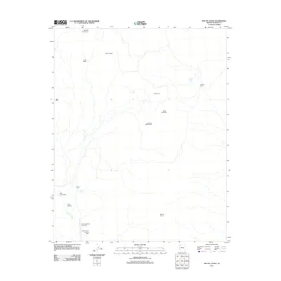
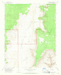
2011 Map of Mount Logan
USGS Topo · Published 2011About this map
Uinkaret Mountains terrain and high-elevation ranching outposts define this high-desert landscape in northern Arizona. The presence of remote aviation infrastructure, such as the Grand Canyon Bar Ten Airstrip and the Webbs Ranch Landing Strip, illustrates the essential role of air travel for reaching these isolated uplands. Water remains the primary shaper of human activity here, with Arkansas Ranch and Woods Ranch positioned near critical water sources like Big Spring and Woods Tank.
Find a feature on this map
18 named features on this map. Tap any name to fly to it.
Don’t see what you’re looking for? This feature index may not catch every label — zoom into the map to look around manually.
Map Details
Editions of this 2011 Mount Logan Map
This is the sole edition of this map. No revisions or reprints were ever made.
Other maps of this area

1886 · Mt. Trumbull
USGS Topo · 1:250,000

1892 · Mt. Trumbull
USGS Topo · 1:250,000

1953 · Grand Canyon
USGS Topo · 1:250,000

1957 · Grand Canyon
USGS Topo · 1:250,000

1958 · Grand Canyon
USGS Topo · 1:250,000

1960 · Grand Canyon
USGS Topo · 1:250,000
1967 · Mt. Trumbull NE
USGS Topo · 1:24,000
1967 · Vulcans Throne
USGS Topo · 1:24,000
1967 · Whitmore Rapids
USGS Topo · 1:24,000
1967 · Mt. Trumbull SE
USGS Topo · 1:24,000