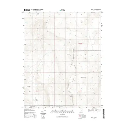
2014 Map of Mount Logan
USGS Topo · Published 2014About this map
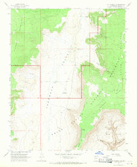
The high plateaus and cinder cones of the Uinkaret Mountains dominate this 2014 survey of northwestern Arizona. The landscape is defined by its dramatic verticality, rising from the depth of Hells Hollow and Whitmore Canyon to the summits of Mount Logan and Mt Emma. This area marks a critical intersection of protected lands, where the western boundary of Grand Canyon National Park meets the Lake Mead National Recreation Area. Water sources are vital but sparse in this environment, represented by scattered points such as Whitmore Spring, Little Spring, and Woods Tank. The presence of the Grand Canyon Bar Ten Airstrip in the southern portion of the quadrangle highlights the modern accessibility requirements for this isolated region, while the Sawmill Mountains to the north suggest a history of resource extraction or livestock management in the high country.
Find a feature on this map
25 named features on this map. Tap any name to fly to it.
Don’t see what you’re looking for? This feature index may not catch every label — zoom into the map to look around manually.
Map Details
Editions of this 2014 Mount Logan Map
This is the sole edition of this map. No revisions or reprints were ever made.
Other maps of this area

1886 · Mt. Trumbull
USGS Topo · 1:250,000

1892 · Mt. Trumbull
USGS Topo · 1:250,000

1953 · Grand Canyon
USGS Topo · 1:250,000

1957 · Grand Canyon
USGS Topo · 1:250,000

1958 · Grand Canyon
USGS Topo · 1:250,000

1960 · Grand Canyon
USGS Topo · 1:250,000
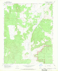
1967 · Mt. Trumbull NE
USGS Topo · 1:24,000
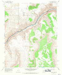
1967 · Vulcans Throne
USGS Topo · 1:24,000
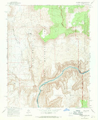
1967 · Whitmore Rapids
USGS Topo · 1:24,000
1967 · Mt. Trumbull SE
USGS Topo · 1:24,000