2024 Map of Mount Morris
USGS Topo · Published 2024About this map
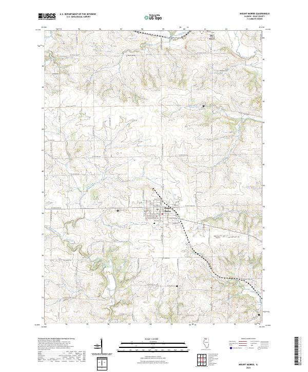
Mount Morris serves as the central hub for this portion of Ogle County, where a well-defined grid of residential and commercial streets includes W Main St, W Hitt St, and W Brayton Rd. The surrounding agricultural landscape is carved by several distinct watercourses, most notably the Leaf River to the north and the meandering Pine Creek to the southwest. This modern-era survey highlights the enduring presence of local community sites, including numerous burial grounds like Oakwood Cem and Plainview Cem, which provide essential points of reference for genealogical research. The transportation network is defined by a mix of state and county routes, while the Ogle County Airport east of the village center marks the area's continued role as a regional transit and aviation point.
Find a feature on this map
63 named features on this map. Tap any name to fly to it.
Don’t see what you’re looking for? This feature index may not catch every label — zoom into the map to look around manually.
Map Details
Editions of this 2024 Mount Morris Map
This is the sole edition of this map. No revisions or reprints were ever made.
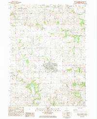
Historical Maps of Rockvale Township Through Time
Featured Locations
- Leaf River Township, IL
- Maryland Township, IL
- Mount Morris Township, IL
- Mount Morris, Mount Morris Township
- Leaf River, Leaf River Township