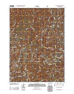
2011 Map of Mount Peavine
USGS Topo · Published 2011About this map
Mount Peavine dominates the high ground in this 2011 survey, a landscape defined by deep gulches and the legacy of resource extraction in Josephine County. The terrain is marked by numerous historic mining sites, including the Victor Mine, Sugar Pine Mine, and Gold Plate Mine, which are situated along the complex drainage systems of Quartz Creek and Birch Creek. A network of Bureau of Land Management roads, such as BLM 34-8-15 RD and BLM 35-8-2 RD, provides access to this remote interior, connecting landmarks like the Peavine Lookout and Peggler Butte. Evidence of forestry and seasonal occupation appears at Sourgrass Camp and Soldier Camp, while the natural topography includes prominent features like Hansen Saddle and the broad Lost Flat. Numerous waterways, including Galice Creek and the North Fork Silver Creek, carve the steep slopes, illustrating the hydrological patterns that have shaped both the physical environment and the local mining history.
Find a feature on this map
63 named features on this map. Tap any name to fly to it.
Don’t see what you’re looking for? This feature index may not catch every label — zoom into the map to look around manually.
Map Details
Editions of this 2011 Mount Peavine Map
This is the sole edition of this map. No revisions or reprints were ever made.
Other maps of this area

1917 · Kerby
USGS Topo · 1:125,000

1918 · Kerby
USGS Topo · 1:125,000

1945 · Kerby
USGS Topo · 1:125,000

1946 · Galice
USGS Topo · 1:62,500

1948 · Galice
USGS Topo · 1:62,500

1954 · Marial
USGS Topo · 1:62,500

1954 · Selma
USGS Topo · 1:62,500

1954 · Pearsoll Peak
USGS Topo · 1:62,500

1955 · Medford
USGS Topo · 1:250,000

1957 · Medford
USGS Topo · 1:250,000