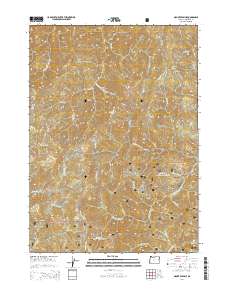
2014 Map of Mount Peavine
USGS Topo · Published 2014About this map
Mount Peavine stands as a prominent high point in this 2014 survey of the Siskiyou National Forest in Josephine County. The terrain is defined by a dense network of drainages and named gulches, illustrating a landscape shaped by water and elevation. Major features include Peggler Butte and Cedar Mtn, with local routes such as Nat For Dev Rd 2402 and various Bureau of Land Management roads like BLM-34-8-36 providing access to the deep interior.
Find a feature on this map
49 named features on this map. Tap any name to fly to it.
Don’t see what you’re looking for? This feature index may not catch every label — zoom into the map to look around manually.
Map Details
Editions of this 2014 Mount Peavine Map
This is the sole edition of this map. No revisions or reprints were ever made.
Other maps of this area

1917 · Kerby
USGS Topo · 1:125,000

1918 · Kerby
USGS Topo · 1:125,000

1945 · Kerby
USGS Topo · 1:125,000

1946 · Galice
USGS Topo · 1:62,500

1948 · Galice
USGS Topo · 1:62,500

1954 · Marial
USGS Topo · 1:62,500

1954 · Selma
USGS Topo · 1:62,500

1954 · Pearsoll Peak
USGS Topo · 1:62,500

1955 · Medford
USGS Topo · 1:250,000

1957 · Medford
USGS Topo · 1:250,000