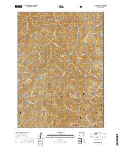
2020 Map of Mount Peavine
USGS Topo · Published 2020About this map
Mt Peavine and Cedar Mtn dominate this portion of the Siskiyou National Forest in Josephine County. The terrain is defined by a dense network of watercourses and canyons, including the drainage of Silver Cr and the various forks of Galice Cr. The landscape's naming conventions, featuring labels such as Tin Canyon Gulch, Rich Gulch, and Sailor Gulch, point toward the region's long-standing connection to mineral exploration. One of the most significant historical markers on this sheet is Old Channel, situated near the confluence of the N Fork Galice Cr and the S Fork Galice Cr, which reflects the early industrial efforts to harness water for hydraulic mining. These steep ridges and narrow gulches, connected by routes like the Bear Camp Galice Access Rd BLM and Peavine Rd, reveal the difficulty of navigating this mountain territory during the late twentieth and early twenty-first centuries.
Find a feature on this map
50 named features on this map. Tap any name to fly to it.
Don’t see what you’re looking for? This feature index may not catch every label — zoom into the map to look around manually.
Map Details
Editions of this 2020 Mount Peavine Map
This is the sole edition of this map. No revisions or reprints were ever made.
Other maps of this area

1917 · Kerby
USGS Topo · 1:125,000

1918 · Kerby
USGS Topo · 1:125,000

1945 · Kerby
USGS Topo · 1:125,000

1946 · Galice
USGS Topo · 1:62,500

1948 · Galice
USGS Topo · 1:62,500

1954 · Marial
USGS Topo · 1:62,500

1954 · Selma
USGS Topo · 1:62,500

1954 · Pearsoll Peak
USGS Topo · 1:62,500

1955 · Medford
USGS Topo · 1:250,000

1957 · Medford
USGS Topo · 1:250,000