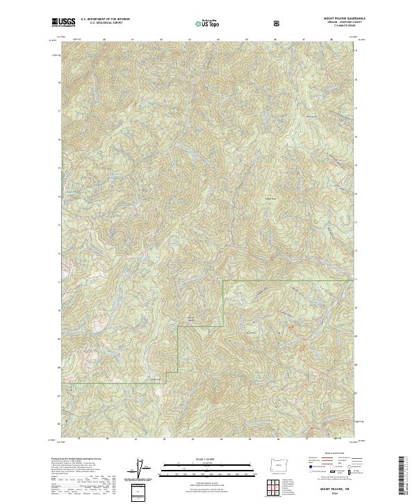
2024 Map of Mount Peavine
USGS Topo · Published 2024About this map
The Siskiyou National Forest dominates this section of Josephine County, where the terrain is defined by the protected waters of the Rogue Wild and Scenic River and the North Fork Silver Creek Wild and Scenic River. This high-elevation landscape is marked by prominent peaks and ridges including Mt Peavine, Pegglier Butte, and Cedar Mtn. The map reveals a complex network of drainage systems such as West Fork Silver Creek and South Fork Galice Creek, which carve through the forest towards the river corridors. Historically, these gulches and creeks were the lifeblood of local mining and timber activity, evidenced here by names like Sailor Gulch and Rich Gulch. Remote points of interest like Hansen Saddle and the secluded Lost Flat provide specific landmarks for those tracing the backcountry routes and natural springs of the Klamath Mountains.
Find a feature on this map
50 named features on this map. Tap any name to fly to it.
Don’t see what you’re looking for? This feature index may not catch every label — zoom into the map to look around manually.
Map Details
Editions of this 2024 Mount Peavine Map
This is the sole edition of this map. No revisions or reprints were ever made.
Other maps of this area

1917 · Kerby
USGS Topo · 1:125,000

1918 · Kerby
USGS Topo · 1:125,000

1945 · Kerby
USGS Topo · 1:125,000

1946 · Galice
USGS Topo · 1:62,500

1948 · Galice
USGS Topo · 1:62,500

1954 · Marial
USGS Topo · 1:62,500

1954 · Selma
USGS Topo · 1:62,500

1954 · Pearsoll Peak
USGS Topo · 1:62,500

1955 · Medford
USGS Topo · 1:250,000

1957 · Medford
USGS Topo · 1:250,000