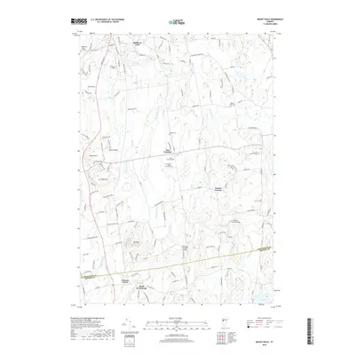
2018 Map of Mount Philo
USGS Topo · Published 2018About this map
Lewis Creek and the La Platte River define the drainage of this Champlain Valley landscape, where rural road networks connect a string of historic hamlets and farmsteads. The transition from Shelburne Falls south toward East Charlotte and North Ferrisburgh reveals a territory of significant topographic relief, including the prominent summit of Mt Philo and the high point at Pease Mtn.
Find a feature on this map
120 named features on this map. Tap any name to fly to it.
Don’t see what you’re looking for? This feature index may not catch every label — zoom into the map to look around manually.
Map Details
Editions of this 2018 Mount Philo Map
This is the sole edition of this map. No revisions or reprints were ever made.
Other maps of this area

1894 · Port Henry
USGS Topo · 1:62,500

1895 · Willsboro
USGS Topo · 1:62,500

1898 · Port Henry
USGS Topo · 1:62,500

1903 · Middlebury
USGS Topo · 1:62,500

1905 · Middlebury
USGS Topo · 1:62,500

1906 · Burlington
USGS Topo · 1:62,500

1919 · Burlington
USGS Topo · 1:62,500

1920 · Middlebury
USGS Topo · 1:62,500

1941 · Willsboro
USGS Topo · 1:62,500

1943 · Willsboro
USGS Topo · 1:62,500