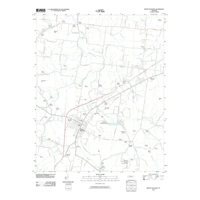
2010 Map of Mount Pleasant
USGS Topo · Published 2010About this map
Mount Pleasant serves as the industrial and residential anchor for this part of Maury County, where the transition from agriculture to mineral extraction is clearly visible. The town's grid is flanked by the neighborhoods of Institute Hill and Arlington, while the surrounding countryside is defined by an unusually high density of family and community burial grounds, such as Strayhorn Cemetery, Hills Chapel Cemetery, and Saint Johns Cemetery.
Find a feature on this map
115 named features on this map. Tap any name to fly to it.
Don’t see what you’re looking for? This feature index may not catch every label — zoom into the map to look around manually.
Map Details
Editions of this 2010 Mount Pleasant Map
This is the sole edition of this map. No revisions or reprints were ever made.
Other maps of this area

1901 · Colombia
USGS Topo · 1:125,000

1936 · Godwin
USGS Topo · 1:24,000

1936 · Sandy Hook
USGS Topo · 1:24,000

1936 · Williamsport
USGS Topo · 1:24,000

1936 · Mt Joy
USGS Topo · 1:24,000

1936 · Crestview
USGS Topo · 1:24,000

1936 · Greenfield Bend
USGS Topo · 1:24,000

1936 · Mount Pleasant
USGS Topo · 1:24,000

1936 · Columbia
USGS Topo · 1:24,000

1936 · Lynnville
USGS Topo · 1:24,000