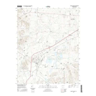
2016 Map of Mount Pleasant
USGS Topo · Published 2016About this map
Mount Pleasant serves as a primary hub in this southern Tennessee landscape, where industrial history meets long-standing family settlements. The terrain is marked by significant environmental and industrial features, including the Stauffer Chemical Tailings Pond Number Seventeen and Stauffer Globe Pond Number Twenty-one near Ridley. These sites reflect the area's legacy of phosphate mining and chemical processing.
Find a feature on this map
84 named features on this map. Tap any name to fly to it.
Don’t see what you’re looking for? This feature index may not catch every label — zoom into the map to look around manually.
Map Details
Editions of this 2016 Mount Pleasant Map
This is the sole edition of this map. No revisions or reprints were ever made.
Other maps of this area

1901 · Colombia
USGS Topo · 1:125,000

1936 · Godwin
USGS Topo · 1:24,000

1936 · Sandy Hook
USGS Topo · 1:24,000

1936 · Williamsport
USGS Topo · 1:24,000

1936 · Mt Joy
USGS Topo · 1:24,000

1936 · Crestview
USGS Topo · 1:24,000

1936 · Greenfield Bend
USGS Topo · 1:24,000

1936 · Mount Pleasant
USGS Topo · 1:24,000

1936 · Columbia
USGS Topo · 1:24,000

1936 · Lynnville
USGS Topo · 1:24,000