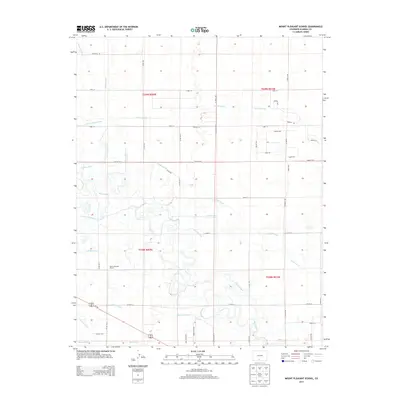
2013 Map of Mount Pleasant School
USGS Topo · Published 2013About this map
The Rio Grande snakes through this high-altitude valley, defining a landscape engineered for agriculture in the early twenty-first century. This portion of the San Luis Valley is characterized by an extensive network of water management features, including the San Luis Valley Canal, Centennial Ditch, and Costilla Canal. These irrigation systems, along with various laterals and drains like the Leyden Lateral and Bowen Drain, demonstrate the complex water rights and engineering required to sustain farming in this arid Colorado environment.
Find a feature on this map
53 named features on this map. Tap any name to fly to it.
Don’t see what you’re looking for? This feature index may not catch every label — zoom into the map to look around manually.
Map Details
Editions of this 2013 Mount Pleasant School Map
This is the sole edition of this map. No revisions or reprints were ever made.
Other maps of this area
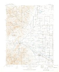
1915 · Del Norte
USGS Topo · 1:125,000
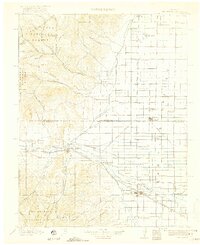
1917 · Del Norte
USGS Topo · 1:125,000
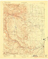
1922 · Conejos
USGS Topo · 1:125,000

1945 · Durango
USGS Topo · 1:250,000

1953 · Durango
USGS Topo · 1:250,000
1954 · Durango
USGS Topo · 1:250,000

1954 · Trinidad
USGS Topo · 1:250,000

1955 · Trinidad
USGS Topo · 1:250,000

1958 · Trinidad
USGS Topo · 1:250,000
1959 · Trinidad
USGS Topo · 1:250,000