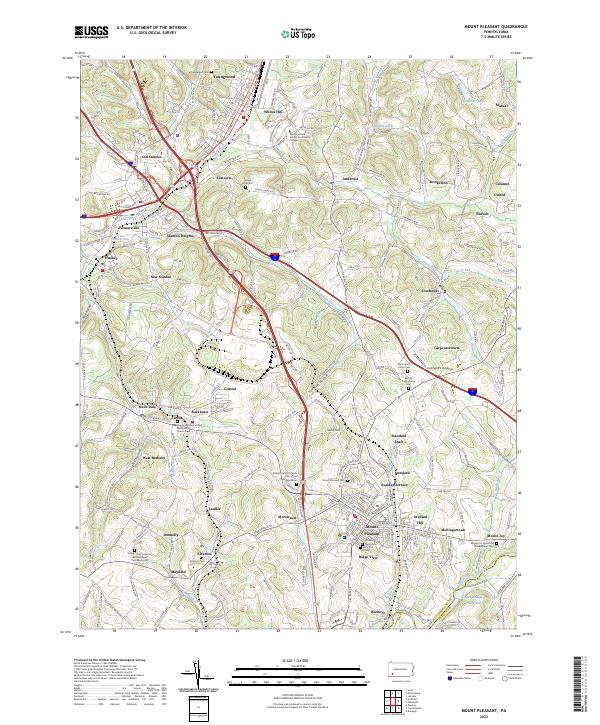
2023 Map of Mount Pleasant
USGS Topo · Published 2023About this map
Youngwood and the industrial corridors of central Westmoreland County are depicted in this 2023 survey. The landscape is defined by its deep mining and manufacturing roots, visible in names like Standard Shaft and the legacy of the Southwest Pennsylvania RR. Numerous faith-based sites and burial grounds, such as the Roman Catholic Polish Cem of the Transfiguration and Middle Presbyterian Cem, reflect the complex ethnic and cultural heritage of the area's coal and coke-era labor force.
Find a feature on this map
73 named features on this map. Tap any name to fly to it.
Don’t see what you’re looking for? This feature index may not catch every label — zoom into the map to look around manually.
Map Details
Editions of this 2023 Mount Pleasant Map
This is the sole edition of this map. No revisions or reprints were ever made.
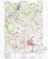
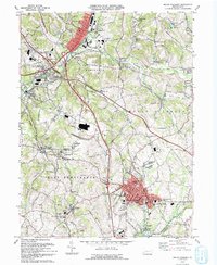
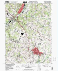
Historical Maps of Tarrs Through Time
4 maps found