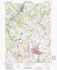
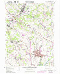
1964 Map of Mount Pleasant
USGS Topo · Published 1988About this map
Industrial Westmoreland County is anchored here by Mount Pleasant, where a dense network of residential neighborhoods like Ramsay Terrace and Orchard Hill meets a landscape shaped by coal and heavy industry. The map reveals the legacy of local energy production through features like the Standard Shaft and Standard Slag Dump, while the presence of Coke Ovens and a Tipple speaks to the region's historic mining operations. Transportation infrastructure is central to the area's layout, with the Conrail and Baltimore And Ohio railroads serving the towns, alongside the major thoroughfare of the Pennsylvania Turnpike. In the northern section, Youngwood shows significant rail development near Youngwood Park. This edition includes purple revisions from the late 1970s, indicating suburban growth and commercial changes around New Stanton and its prominent Interchange 8. The map is also a valuable resource for genealogists, detailing several local burial grounds including the Polish Cem and Mt Pleasant Cem.
Find a feature on this map
88 named features on this map. Tap any name to fly to it.
Don’t see what you’re looking for? This feature index may not catch every label — zoom into the map to look around manually.
Map Details
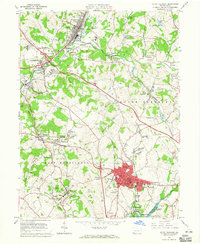
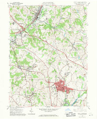
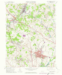
Editions of this 1964 Mount Pleasant Map
5 editions found
Other maps of this area

1900 · Latrobe
USGS Topo · 1:62,500

1902 · Latrobe
USGS Topo · 1:62,500

1902 · Connellsville
USGS Topo · 1:62,500

1903 · Latrobe
USGS Topo · 1:62,500

1904 · Greensburg
USGS Topo · 1:62,500

1906 · Greensburg
USGS Topo · 1:62,500

1922 · Donegal
USGS Topo · 1:62,500

1931 · Connellsville
USGS Topo · 1:62,500

1935 · Donegal
USGS Topo · 1:62,500

1936 · Connellsville
USGS Topo · 1:62,500