
1936 Map of Connellsville
USGS Topo · Published 1936About this map
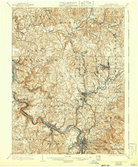
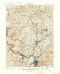
The Youghiogheny River carves a deep, winding path through the heart of southwestern Pennsylvania, serving as a primary corridor for both the Pittsburgh and Lake Erie RR and the Baltimore and Ohio RR. This mid-1930s landscape is defined by its industrial and agricultural density, with numerous named settlements like Hecla, Ruffsdale, and New Stanton clustered along the rail lines and major thoroughfares such as the Pittsburgh and Mount Pleasant Pike. The region's coal and coke heritage is evident at Star Mines, while local community life is anchored by a dense network of country schools and churches, including the Tintsman Sch and Mt Olive Ch. Beyond the industrial centers of Connellsville and Scottdale, the map reveals a complex terrain of ridges like Mount Pleasant and Fort Hill, where smaller hamlets such as Bells Mills and Weavers Old Stand mark the intersections of rural life.
Find a feature on this map
137 named features on this map. Tap any name to fly to it.
Don’t see what you’re looking for? This feature index may not catch every label — zoom into the map to look around manually.
Map Details
Editions of this 1936 Connellsville Map
3 editions found
Other maps of this area

1900 · Uniontown
USGS Topo · 1:62,500

1900 · Masontown
USGS Topo · 1:62,500

1900 · Latrobe
USGS Topo · 1:62,500

1902 · Latrobe
USGS Topo · 1:62,500

1902 · Brownsville
USGS Topo · 1:62,500

1902 · Connellsville
USGS Topo · 1:62,500

1903 · Masontown
USGS Topo · 1:62,500

1903 · Latrobe
USGS Topo · 1:62,500

1904 · Mc Keesport
USGS Topo · 1:62,500

1904 · Greensburg
USGS Topo · 1:62,500