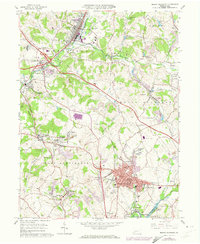
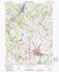
1964 Map of Mount Pleasant
USGS Topo · Published 1973About this map
The industrial heart of Westmoreland County is captured here in the mid-1960s, centered on the bustling borough of Mount Pleasant. This era shows a landscape defined by its extractive roots and heavy transit, where numerous Strip Mines and remnants of Coke Ovens sit alongside major transportation arteries like the Pennsylvania Turnpike and the Penn Central Railroad. The settlement pattern reveals distinct residential neighborhoods and small outlying communities such as Ramsay Terrace, Norvelt, and Snydertown, many of which were founded as patch towns for the local mining industry.
Find a feature on this map
80 named features on this map. Tap any name to fly to it.
Don’t see what you’re looking for? This feature index may not catch every label — zoom into the map to look around manually.
Map Details
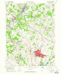
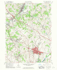
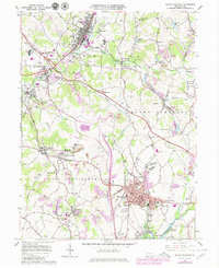
Editions of this 1964 Mount Pleasant Map
5 editions found
Other maps of this area

1900 · Latrobe
USGS Topo · 1:62,500

1902 · Latrobe
USGS Topo · 1:62,500

1902 · Connellsville
USGS Topo · 1:62,500

1903 · Latrobe
USGS Topo · 1:62,500

1904 · Greensburg
USGS Topo · 1:62,500

1906 · Greensburg
USGS Topo · 1:62,500

1922 · Donegal
USGS Topo · 1:62,500

1931 · Connellsville
USGS Topo · 1:62,500

1935 · Donegal
USGS Topo · 1:62,500

1936 · Connellsville
USGS Topo · 1:62,500