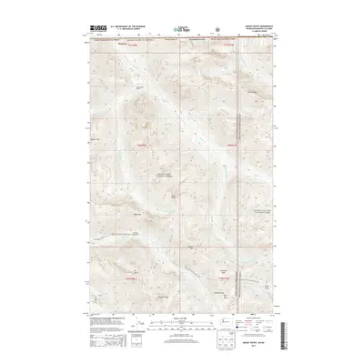
2014 Map of Mount Sefrit
USGS Topo · Published 2014About this map
Mt Sefrit and the high peaks of the Skagit Range dominate this corner of the Cascade Mountains along the international boundary between Washington and British Columbia. This high-altitude landscape is characterized by a network of drainage systems, including the Silesia Cr and the Chilliwack River, which carve through features like Hells Gorge. The map documents a wilderness infrastructure of trails and camps centered around the Pacific NW National Scenic Trail, which traverses the southern portion of the sheet near Hannegan Pass. Remote outposts such as the Silesia Creek Shelter and Dead Mans Camp provide specific points of reference for backcountry travel within the Mount Baker National Forest and North Cascades National Park.
Find a feature on this map
34 named features on this map. Tap any name to fly to it.
Don’t see what you’re looking for? This feature index may not catch every label — zoom into the map to look around manually.
Map Details
Editions of this 2014 Mount Sefrit Map
This is the sole edition of this map. No revisions or reprints were ever made.
Other maps of this area
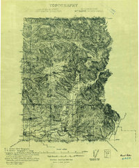
1909 · Mt Baker
USGS Topo · 1:192,000
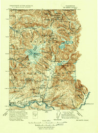
1915 · Mt. Baker
USGS Topo · 1:250,000
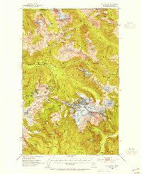
1953 · Mt Shuksan
USGS Topo · 1:62,500
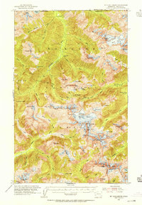
1953 · Mt Challenger
USGS Topo · 1:62,500

1955 · Concrete
USGS Topo · 1:250,000

1958 · Concrete
USGS Topo · 1:250,000

1962 · Concrete
USGS Topo · 1:250,000
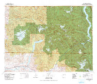
1979 · Mt. Baker
USGS Topo · 1:100,000
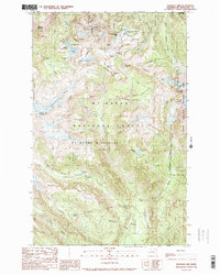
1989 · Shuksan Arm
USGS Topo · 1:24,000
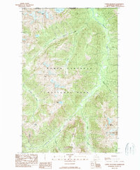
1989 · Copper Mountain
USGS Topo · 1:24,000