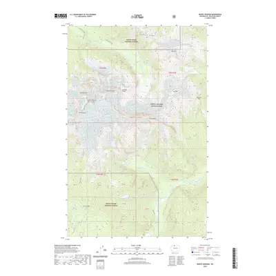
2020 Map of Mount Shuksan
USGS Topo · Published 2020About this map
The Summit Pyramid Mt Shuksan stands as the central landmark of this high-altitude landscape, where the Mount Baker National Forest meets the North Cascades National Park. The topography is defined by massive ice fields and drainage basins, including the Sulphide Glacier, Crystal Glacier, and Price Glacier. These frozen reservoirs feed complex water systems such as the N Fork Nooksack River and Sulphide Cr. The map illustrates the extreme vertical relief between jagged summits like Icy Peak and the high basins of Price Lake and Shuksan Lake. Climbers and surveyors have long noted technical landmarks like Nooksack Tower, Winnies Slide, and The Hourglass, which provide specific orientation points for navigating the steep north-south ridges and deep river valleys of the Baker River corridor.
Find a feature on this map
44 named features on this map. Tap any name to fly to it.
Don’t see what you’re looking for? This feature index may not catch every label — zoom into the map to look around manually.
Map Details
Editions of this 2020 Mount Shuksan Map
This is the sole edition of this map. No revisions or reprints were ever made.
Other maps of this area
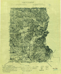
1909 · Mt Baker
USGS Topo · 1:192,000
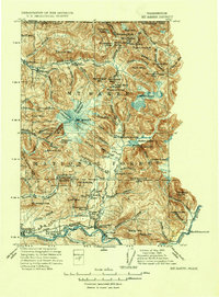
1915 · Mt. Baker
USGS Topo · 1:250,000
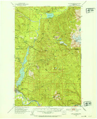
1952 · Lake Shannon
USGS Topo · 1:62,500
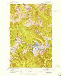
1953 · Mt Shuksan
USGS Topo · 1:62,500
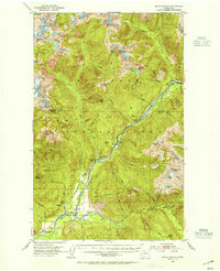
1953 · Marblemount
USGS Topo · 1:62,500
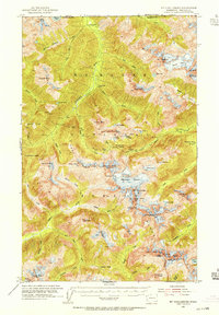
1953 · Mt Challenger
USGS Topo · 1:62,500

1955 · Concrete
USGS Topo · 1:250,000

1958 · Concrete
USGS Topo · 1:250,000

1962 · Concrete
USGS Topo · 1:250,000
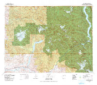
1979 · Mt. Baker
USGS Topo · 1:100,000