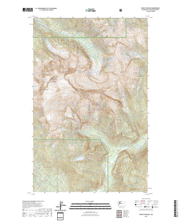
2023 Map of Mount Shuksan
USGS Topo · Published 2023About this map
Mt Shuksan and its iconic Summit Pyramid dominate this high-elevation landscape within the North Cascades National Park and the Stephen Mather Wilderness. The map documents an intricate network of glaciers, including the Sulphide Glacier, Price Glacier, and the East Nooksack Glacier, which feed the headwaters of the North Fork Nooksack River and Baker River. Notable alpine features like The Hourglass and Winnies Slide provide specific detail for those studying the physical geography of the Cascades. Access to this primitive backcountry is marked by the Nooksack Cirque Trl and the Baker River Trl, showing the intersection of Mount Baker National Forest and protected wilderness areas. The survey also captures isolated water bodies such as Shuksan Lake and Price Lake, set against the jagged ridges of Nooksack Ridge and Icy Peak.
Find a feature on this map
48 named features on this map. Tap any name to fly to it.
Don’t see what you’re looking for? This feature index may not catch every label — zoom into the map to look around manually.
Map Details
Editions of this 2023 Mount Shuksan Map
This is the sole edition of this map. No revisions or reprints were ever made.
Other maps of this area

1909 · Mt Baker
USGS Topo · 1:192,000

1915 · Mt. Baker
USGS Topo · 1:250,000

1952 · Lake Shannon
USGS Topo · 1:62,500

1953 · Mt Shuksan
USGS Topo · 1:62,500

1953 · Marblemount
USGS Topo · 1:62,500

1953 · Mt Challenger
USGS Topo · 1:62,500

1955 · Concrete
USGS Topo · 1:250,000

1958 · Concrete
USGS Topo · 1:250,000

1962 · Concrete
USGS Topo · 1:250,000

1979 · Mt. Baker
USGS Topo · 1:100,000