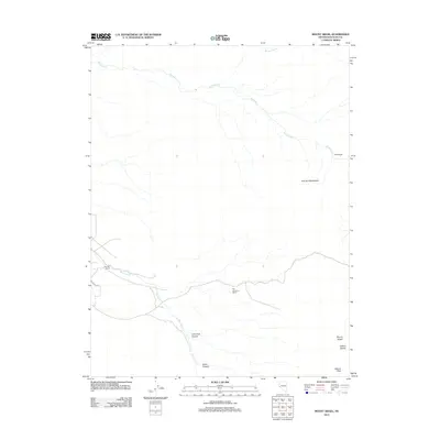
2012 Map of Mount Siegel
USGS Topo · Published 2012About this map
Mount Siegel and the high peaks of the Pine Nut Mountains dominate this 2012 survey of eastern Douglas County. The landscape is defined by its drainages and canyons, with Buckeye Cr winding through the northern portion while Pine Nut Cr cuts through the southwest. Named ranches are the primary indicators of settlement and land use in this arid region, showing where water and habitable terrain allowed for established outposts. Lone Pine Canyon and Dutch Canyon provide natural corridors through the peaks toward Galena Peak and the nearby Galena Saddle. The survey also marks the winding path of Bluebird Way, reflecting the sparse but essential road network that connects these remote ranching properties like Smith Ranch and Pine Nut Ranch to the broader Mineral Valley area.
Find a feature on this map
13 named features on this map. Tap any name to fly to it.
Don’t see what you’re looking for? This feature index may not catch every label — zoom into the map to look around manually.
Map Details
Editions of this 2012 Mount Siegel Map
This is the sole edition of this map. No revisions or reprints were ever made.
Other maps of this area

1889 · Markleeville
USGS Topo · 1:125,000

1891 · Carson
USGS Topo · 1:125,000

1891 · Markleeville
USGS Topo · 1:125,000

1891 · Wabuska
USGS Topo · 1:125,000

1891 · Wellington
USGS Topo · 1:125,000

1893 · Carson
USGS Topo · 1:125,000

1893 · Markleeville
USGS Topo · 1:125,000

1893 · Wellington
USGS Topo · 1:125,000

1894 · Wabuska
USGS Topo · 1:125,000

1948 · Walker Lake
USGS Topo · 1:250,000