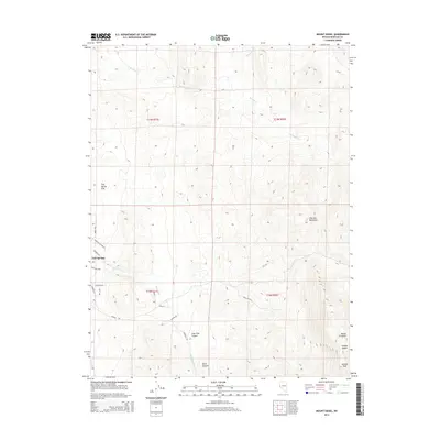
2014 Map of Mount Siegel
USGS Topo · Published 2014About this map
Fish Springs sits at the western base of the Pine Nut Mountains, where the desert terrain transitions into the wide expanse of Fish Spring Flat. This high-altitude landscape is defined by its deep drainages and prominent peaks, including the 9,450-foot summit of Mount Siegel and nearby Galena Peak. The map detail captures a network of rural routes such as Pinenut Rd and Robison Rd that navigate the varied topography of Lone Pine Canyon and Dutch Canyon. Water is a scarce but vital element of the local geography, represented by the seasonal flows of Buckeye Cr and Pine Nut Cr. The layout of these physical features reveals the sparse residential footprint of eastern Douglas County, where development is constrained by the steep ridges of Mineral Valley and the surrounding mountain passes like Galena Saddle.
Find a feature on this map
27 named features on this map. Tap any name to fly to it.
Don’t see what you’re looking for? This feature index may not catch every label — zoom into the map to look around manually.
Map Details
Editions of this 2014 Mount Siegel Map
This is the sole edition of this map. No revisions or reprints were ever made.
Other maps of this area
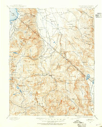
1889 · Markleeville
USGS Topo · 1:125,000
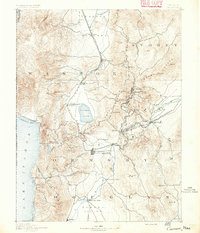
1891 · Carson
USGS Topo · 1:125,000
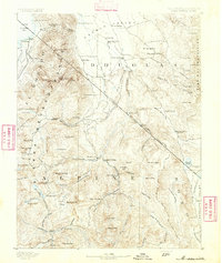
1891 · Markleeville
USGS Topo · 1:125,000
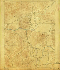
1891 · Wabuska
USGS Topo · 1:125,000
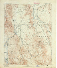
1891 · Wellington
USGS Topo · 1:125,000
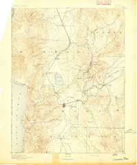
1893 · Carson
USGS Topo · 1:125,000
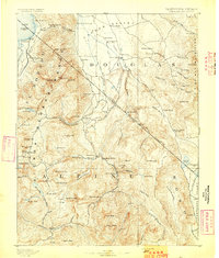
1893 · Markleeville
USGS Topo · 1:125,000
1893 · Wellington
USGS Topo · 1:125,000
1894 · Wabuska
USGS Topo · 1:125,000

1948 · Walker Lake
USGS Topo · 1:250,000