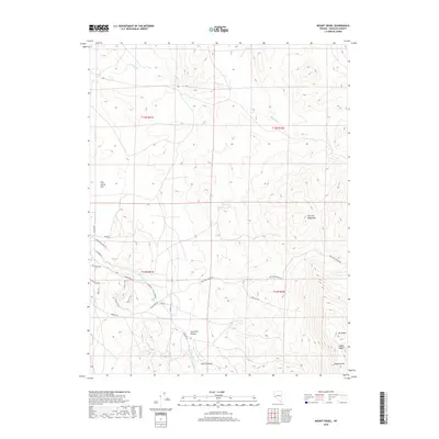
2018 Map of Mount Siegel
USGS Topo · Published 2018About this map
The Pine Nut Mountains dominate this high-desert terrain in Douglas County, reaching their local apex at Mt Siegel and Galena Peak in the southeast. This modern survey illustrates the rugged drainage systems that define the area, including the upper reaches of Buckeye Cr and Pine Nut Cr, which carve through deep recesses like Lone Pine Canyon and Dutch Canyon. The presence of the Qadosh City of Refuge provides a fascinating modern landmark amidst a landscape otherwise defined by mining and ranching history, evidenced by Slater Mine Rd and Old Ranch Rd. To the west, the topography softens into the wide expanse of Fish Spring Flat, while the northern portion is marked by the distinct basin of Mineral Valley. Access into these higher elevations is charted via winding routes such as Lone Pine Canyon Rd and Pinyon Trail.
Find a feature on this map
29 named features on this map. Tap any name to fly to it.
Don’t see what you’re looking for? This feature index may not catch every label — zoom into the map to look around manually.
Map Details
Editions of this 2018 Mount Siegel Map
This is the sole edition of this map. No revisions or reprints were ever made.
Other maps of this area
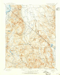
1889 · Markleeville
USGS Topo · 1:125,000
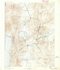
1891 · Carson
USGS Topo · 1:125,000
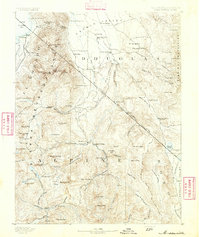
1891 · Markleeville
USGS Topo · 1:125,000
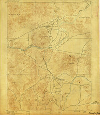
1891 · Wabuska
USGS Topo · 1:125,000
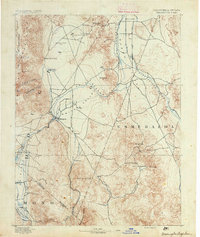
1891 · Wellington
USGS Topo · 1:125,000
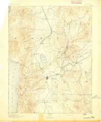
1893 · Carson
USGS Topo · 1:125,000
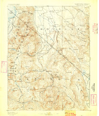
1893 · Markleeville
USGS Topo · 1:125,000
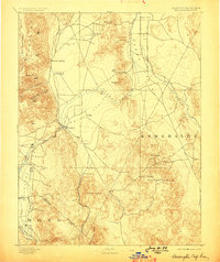
1893 · Wellington
USGS Topo · 1:125,000
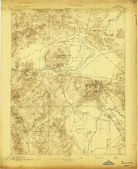
1894 · Wabuska
USGS Topo · 1:125,000

1948 · Walker Lake
USGS Topo · 1:250,000