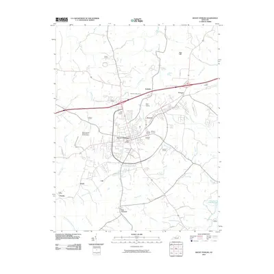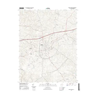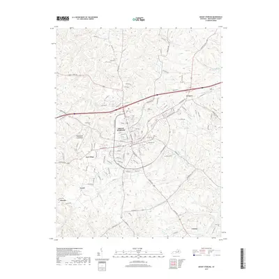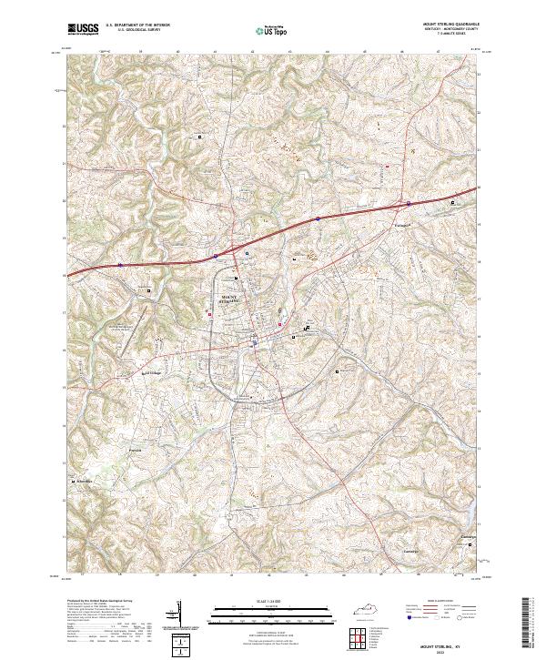
2022 Map of Mount Sterling
USGS Topo · Published 2022About this map
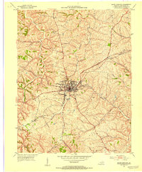
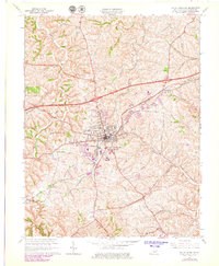
Mount Sterling serves as the focal point of this Montgomery County landscape, anchored by the Montgomery County Courthouse and the local presence of Morehead State University. The geography is defined by a dense network of watercourses, including Hinkston Cr and Somerset Cr, which have historically influenced the placement of surrounding settlements like Ewington and Camargo. Genealogists will find a high concentration of burial sites, from the prominent Machpelah Cem and Fairview Cem to family-named locations such as Cravens Cem and Enoch Smith Cem. The map illustrates a modern transport hub where Paris Pike and Owingsville Rd converge, supporting the nearby Mount Sterling/Montgomery County Airport. This era shows the continued growth of outlying communities such as Reid Village and the smaller hamlets of Prewitt and Klondike.
Find a feature on this map
126 named features on this map. Tap any name to fly to it.
Don’t see what you’re looking for? This feature index may not catch every label — zoom into the map to look around manually.
Map Details
Editions of this 2022 Mount Sterling Map
This is the sole edition of this map. No revisions or reprints were ever made.
Historical Maps of Mount Sterling Through Time
7 maps found