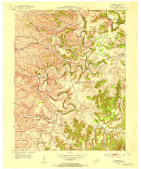
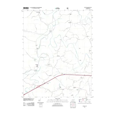
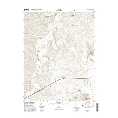
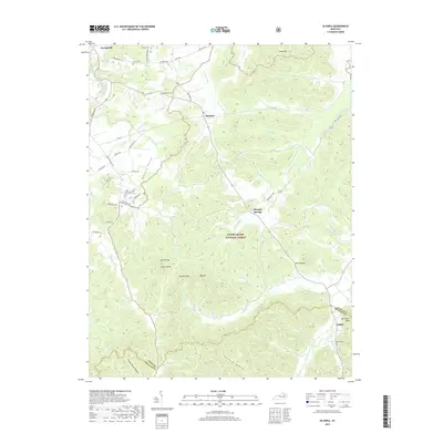
1952 Map of Preston
USGS Topo · Published 1953About this map
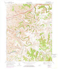
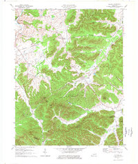
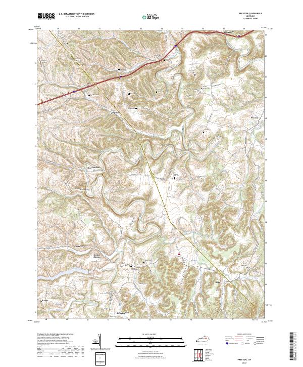
Slate Creek and its many meandering tributaries define the broken landscape of this eastern Kentucky region during the early 1950s. The Chesapeake and Ohio railway cuts through the northern half of the territory, serving small trackside communities like Stepstone and Preston. Local life is anchored by numerous small family burial grounds such as Carpenter Smith Cem and Goodpaster Cem, alongside rural social centers like Sugar Grove Ch and Hope Sch. Evidence of regional infrastructure appears at the Means Pumping Sta along the banks of Slate Creek. The map documents a dense network of unimproved roads and ridge-top paths, including the prominent Harpers Ridge, which connect isolated settlements such as Peeled Oak and Howards Mill to the broader county hubs.
Find a feature on this map
42 named features on this map. Tap any name to fly to it.
Don’t see what you’re looking for? This feature index may not catch every label — zoom into the map to look around manually.
Map Details
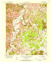
Editions of this 1952 Preston Map
This is the sole edition of this map. No revisions or reprints were ever made.
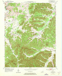
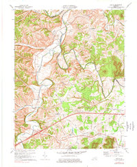
Historical Maps of Jeffersonville Through Time
21 maps found
1952 Preston
Bath County, KY
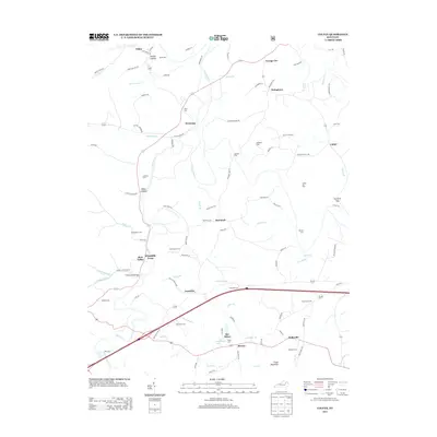
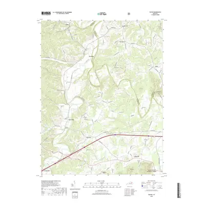
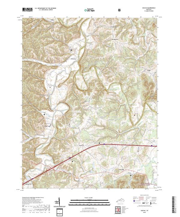
1953 Colfax
Bath County, KY
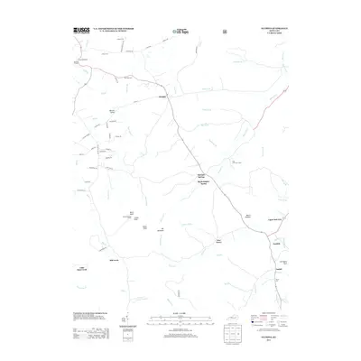
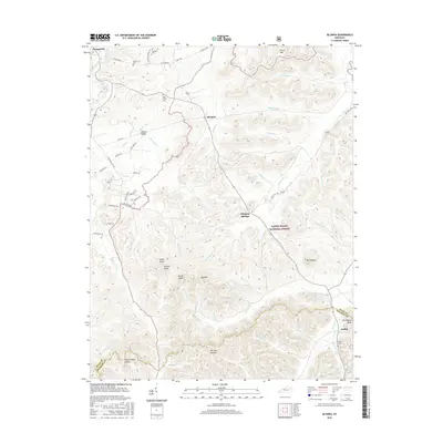
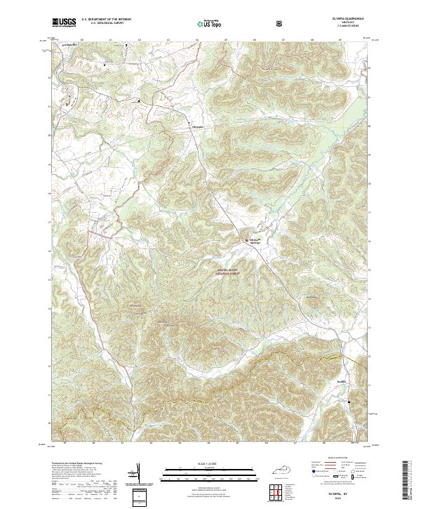
1953 Olympia
Bath County, KY
1970 Colfax
Bath County, KY
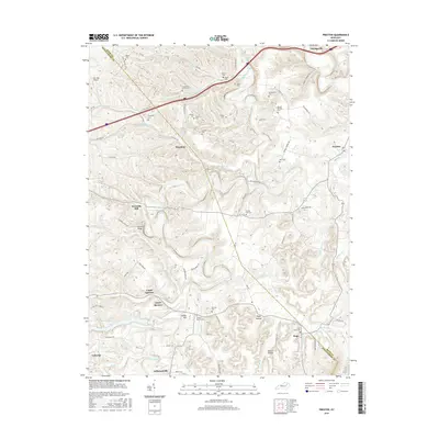
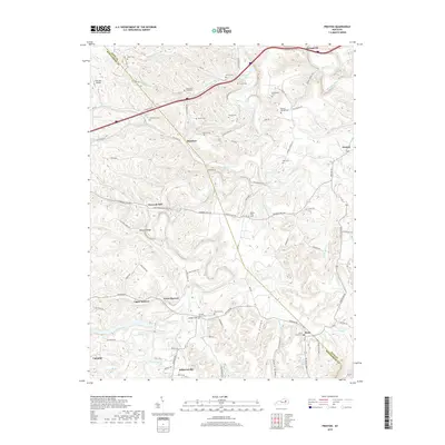
1970 Preston
Bath County, KY
1977 Olympia
Bath County, KY
2010 Olympia
Bath County, KY
2010 Preston
Bath County, KY
2011 Colfax
Bath County, KY
2013 Colfax
Bath County, KY
2013 Olympia
Bath County, KY
2013 Preston
Bath County, KY
2016 Colfax
Bath County, KY
2016 Olympia
Bath County, KY
2016 Preston
Bath County, KY
2019 Colfax
Bath County, KY
2019 Olympia
Bath County, KY
2019 Preston
Bath County, KY
2022 Colfax
Bath County, KY
2022 Olympia
Bath County, KY
2022 Preston
Bath County, KY