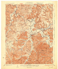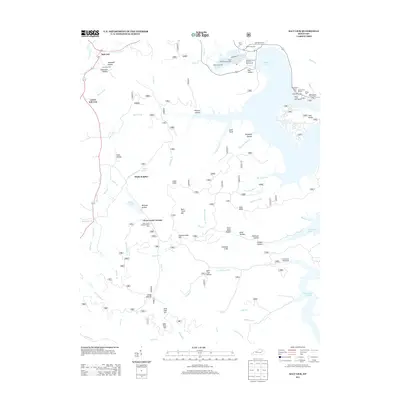
1929 Map of Salt Lick
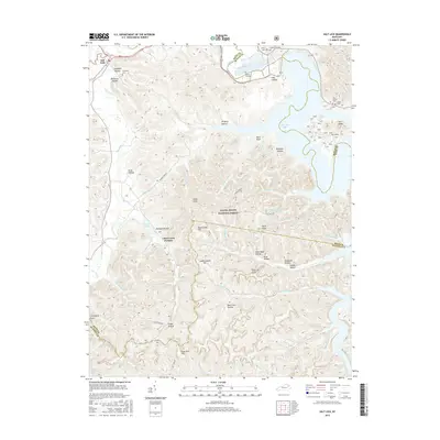
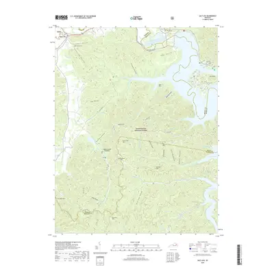
USGS Topo · Published 1961About this map
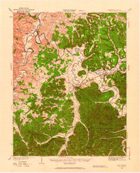
The Licking River winds through this 1929 landscape, serving as a primary corridor for transportation and settlement between Fleming and Bath counties. At the heart of the region, the town of Salt Lick sits at the junction of Salt Lick Creek and the Chesapeake and Ohio railroad. To the south, the foothills of the Cumberland National Forest rise toward peaks like Mt Olympus, while the celebrated waters of Olympia Springs represent a historical pocket of activity away from the river plains.
Find a feature on this map
137 named features on this map. Tap any name to fly to it.
Don’t see what you’re looking for? This feature index may not catch every label — zoom into the map to look around manually.
Map Details
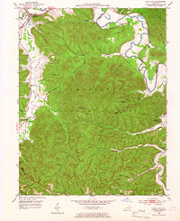
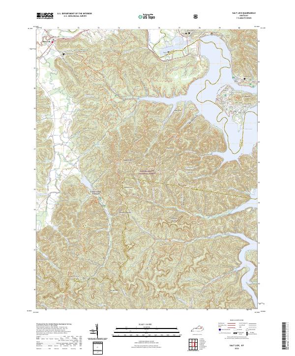
Editions of this 1929 Salt Lick Map
This is the sole edition of this map. No revisions or reprints were ever made.
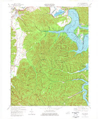
Historical Maps of Owingsville Through Time
9 maps found