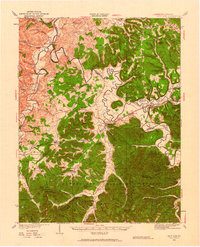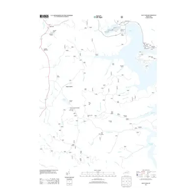
1934 Map of Salt Lick
USGS Topo · Published 1934About this map
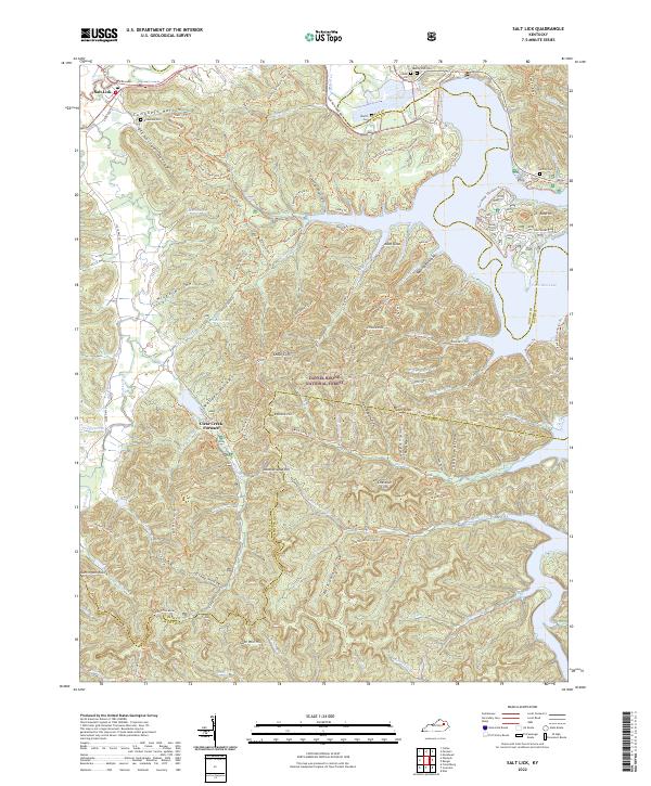
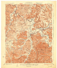
Licking River meanders across this Depression-era landscape, forming a natural boundary for Bath, Fleming, Rowan, and Menifee counties. The central corridor is defined by the Chesapeake and Ohio railroad and U S Highway No 60, which connect the commercial hubs of Salt Lick, Midland, and Farmers. This infrastructure fostered a network of small settlements and river crossings like Moores Ferry, while the interior ridges remained dotted with community anchors such as Arnold Chapel Sch and Fairview Ch.
Find a feature on this map
123 named features on this map. Tap any name to fly to it.
Don’t see what you’re looking for? This feature index may not catch every label — zoom into the map to look around manually.
Map Details
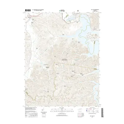
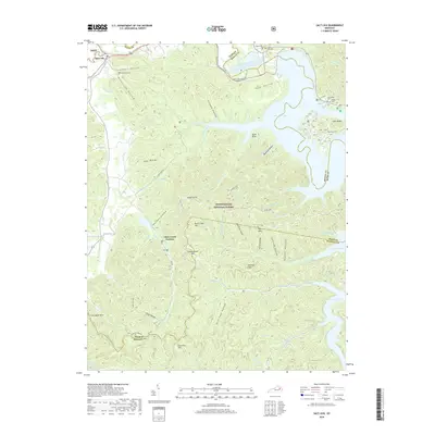
Editions of this 1934 Salt Lick Map
This is the sole edition of this map. No revisions or reprints were ever made.
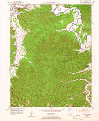
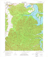
Historical Maps of Owingsville Through Time
9 maps found