Loading...
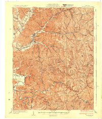
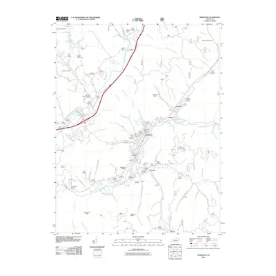
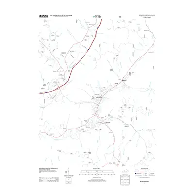
Loading map...1935 Map of Morehead
USGS Topo · Published 1935About this map
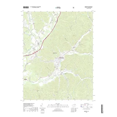
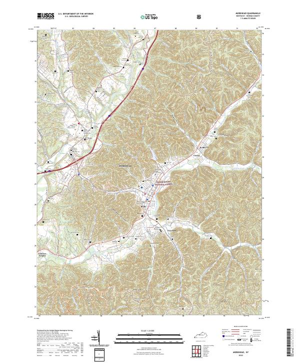
Morehead serves as the focal point of this 1930s survey, situated at the junction of Triplett Creek and several mountain hollows. The Chesapeake and Ohio railroad threads through the terrain, punctuated by engineering feats such as the Clack Mtn Tunnel and the Poppin Rock Tunnel. The landscape is defined by the steep relief of Clack Mountain and the winding course of the Licking River to the southwest.
Find a feature on this map
140 named features on this map. Tap any name to fly to it.
Don’t see what you’re looking for? This feature index may not catch every label — zoom into the map to look around manually.
Map Details
Date Portrayed1935
Date Published1935
PublisherU.S. Geological Survey
Map TypeTopographic
Scale1:62,500
Physical Dimensions17.5 x 20.4 inches
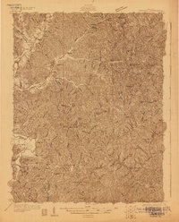
Editions of this 1935 Morehead Map
This is the sole edition of this map. No revisions or reprints were ever made.
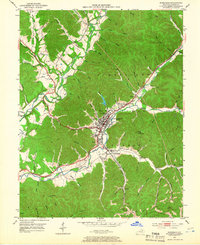
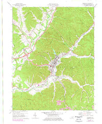
Historical Maps of Morehead Through Time
10 maps found


Featured Locations
Source Details
SourceU.S. Geological Survey
CopyrightPublic Domain