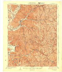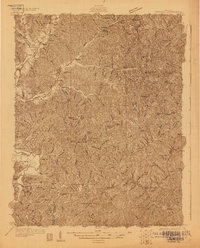
1929 Map of Morehead
USGS Topo · Published 1929About this map
Morehead and its neighboring valleys in the late 1920s reveal a landscape defined by steep ridges and the industrial influence of the Chesapeake and Ohio railroad. This survey, conducted by the U.S. Geological Survey and the Kentucky Geological Survey under Willard Rouse Jillson, captures the region's reliance on rail transport, evidenced by the Clack Mtn Tunnel and the Poppin Rock Tunnel that pierce the high terrain. The economy appears tied to both extraction and rural commerce, with the General Refractory Clay Mine operating near Haldeman and small hubs like Elliottville PO (Hogtown) and Blairs Mills PO serving the hollows.
Find a feature on this map
116 named features on this map. Tap any name to fly to it.
Don’t see what you’re looking for? This feature index may not catch every label — zoom into the map to look around manually.
Map Details
Editions of this 1929 Morehead Map
This is the sole edition of this map. No revisions or reprints were ever made.
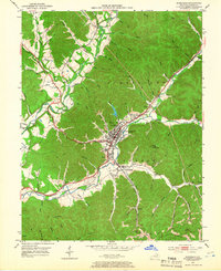
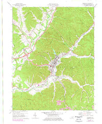
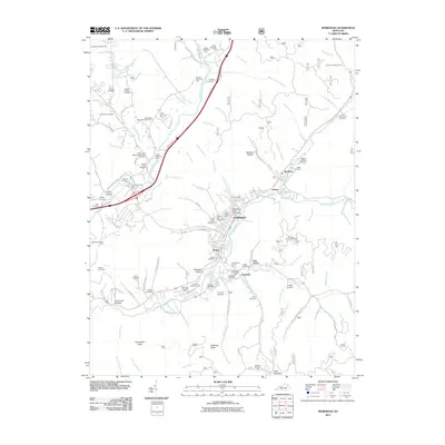
Historical Maps of Morehead Through Time
10 maps found