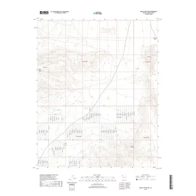
2018 Map of Mount Tipton NW
USGS Topo · Published 2018About this map
The White Hills and Table Mountain Plateau dominate this high-desert landscape in Mohave County, where the transition between the basin floors and rugged peaks is marked by a network of numbered residential roads. The arid character of the Mojave Desert is evident in the water management infrastructure, including Filarea Tank, Barksdale Tanks, and Black Mesa Tank, which provide critical collection points in a territory otherwise defined by wide valleys and steep rises. To the south, the northern reaches of the Cerbat Mountains emerge, providing a sharp contrast to the level expanses of the Hualapai Valley to the east. This 2018 survey reveals a modern rural grid system laid over the ancient terrain, with long thoroughfares like 22nd St and Titus Dr cutting across the desert flats, reflecting recent development patterns and land use in this part of Northwest Arizona.
Find a feature on this map
23 named features on this map. Tap any name to fly to it.
Don’t see what you’re looking for? This feature index may not catch every label — zoom into the map to look around manually.
Map Details
Editions of this 2018 Mount Tipton NW Map
This is the sole edition of this map. No revisions or reprints were ever made.
Other maps of this area
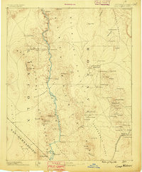
1886 · Camp Mohave
USGS Topo · 1:250,000
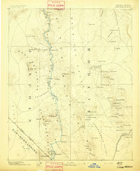
1892 · Camp Mohave
USGS Topo · 1:250,000
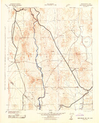
1942 · Camp Mohave
USGS Topo · 1:250,000

1947 · Kingman
USGS Topo · 1:250,000

1948 · Kingman
USGS Topo · 1:250,000

1954 · Kingman
USGS Topo · 1:250,000

1955 · Kingman
USGS Topo · 1:250,000
1958 · Kingman
USGS Topo · 1:250,000
1960 · Kingman
USGS Topo · 1:250,000
1960 · Senator Mountain
USGS Topo · 1:62,500