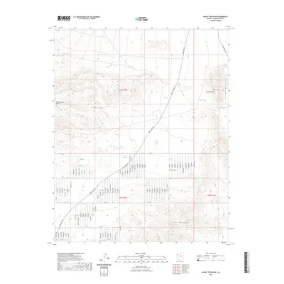
2021 Map of Mount Tipton NW
USGS Topo · Published 2021About this map
Table Mountain Plateau and the White Hills dominate this section of the Mojave Desert in northern Arizona. The landscape is defined by the transition between the high plateaus and the lower Hualapai Valley to the east. Historically critical water sources in this arid environment are marked by several catchments, including Filarea Tank, Barksdale Tank, and Miller Tank, which supported the region's ranching and transit needs. The southern portion of the sheet rises into the Cerbat Mountains, where the rugged topography contrasts with the emerging residential grid of the late twentieth and early twenty-first centuries. This modern expansion is evident in the systematic road network south of Black Mesa Tank, with named thoroughfares like Pierce Ferry Rd and Stockton Hill Rd serving as the primary arteries through the desert scrub and foothills.
Find a feature on this map
25 named features on this map. Tap any name to fly to it.
Don’t see what you’re looking for? This feature index may not catch every label — zoom into the map to look around manually.
Map Details
Editions of this 2021 Mount Tipton NW Map
This is the sole edition of this map. No revisions or reprints were ever made.
Other maps of this area
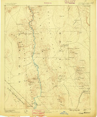
1886 · Camp Mohave
USGS Topo · 1:250,000
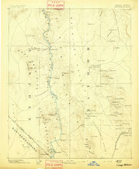
1892 · Camp Mohave
USGS Topo · 1:250,000
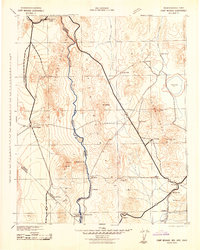
1942 · Camp Mohave
USGS Topo · 1:250,000

1947 · Kingman
USGS Topo · 1:250,000

1948 · Kingman
USGS Topo · 1:250,000

1954 · Kingman
USGS Topo · 1:250,000

1955 · Kingman
USGS Topo · 1:250,000
1958 · Kingman
USGS Topo · 1:250,000
1960 · Kingman
USGS Topo · 1:250,000
1960 · Senator Mountain
USGS Topo · 1:62,500