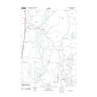
2012 Map of Mount Toby
USGS Topo · Published 2012About this map
The Connecticut River defines the western corridor of this landscape, winding past the village of Sunderland and the agricultural lands of Bradstreet and North Hadley. Higher elevations rise to the east, anchored by the prominent summit of Mount Toby and the distinct peaks of North Sugarloaf Mountain and South Sugarloaf Mountain. The southern portion of the map is dominated by the sprawling campus of the University of Massachusetts at Amherst, where Campus Pond and the University of Massachusetts botanical and academic grounds meet the residential growth of the early 21st century.
Find a feature on this map
174 named features on this map. Tap any name to fly to it.
Don’t see what you’re looking for? This feature index may not catch every label — zoom into the map to look around manually.
Map Details
Editions of this 2012 Mount Toby Map
This is the sole edition of this map. No revisions or reprints were ever made.
Other maps of this area

1885 · Northampton
USGS Topo · 1:62,500

1886 · Northampton
USGS Topo · 1:62,500

1887 · Warwick
USGS Topo · 1:62,500

1887 · Belchertown
USGS Topo · 1:62,500

1889 · Warwick
USGS Topo · 1:62,500

1890 · Belchertown
USGS Topo · 1:62,500

1890 · Greenfield
USGS Topo · 1:62,500

1891 · Northampton
USGS Topo · 1:62,500

1893 · Northampton
USGS Topo · 1:62,500

1893 · Belchertown
USGS Topo · 1:62,500