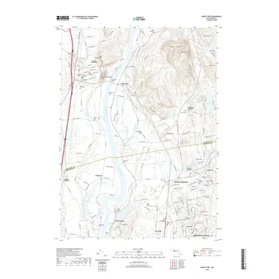
2018 Map of Mount Toby
USGS Topo · Published 2018About this map
The Connecticut River defines the central axis of this Pioneer Valley landscape, where the fertile floodplains meet the dramatic elevations of Mt Toby and the Metacomet Ridge. To the south, the academic and residential character of North Amherst and the sprawling Univ of Massachusetts Amherst campus contrast with the agricultural hamlets of Bradstreet and North Hadley. The map documents a complex network of burial grounds and historic centers, from the industrial memory of Factory Hollow to the quiet streets near Leverett Station. Topographically, the twin peaks of North Sugarloaf Mtn and South Sugarloaf Mtn stand as sentinels over the Sunderland Bridge crossing, while the sprawling Hadley Swamp and Great Swamp mark the lower-lying drainage basins. This modern survey reflects centuries of settlement patterns where transportation routes like the S Deerfield Byp follow the ancient logic of the river valley.
Find a feature on this map
116 named features on this map. Tap any name to fly to it.
Don’t see what you’re looking for? This feature index may not catch every label — zoom into the map to look around manually.
Map Details
Editions of this 2018 Mount Toby Map
This is the sole edition of this map. No revisions or reprints were ever made.
Other maps of this area

1885 · Northampton
USGS Topo · 1:62,500

1886 · Northampton
USGS Topo · 1:62,500

1887 · Warwick
USGS Topo · 1:62,500

1887 · Belchertown
USGS Topo · 1:62,500

1889 · Warwick
USGS Topo · 1:62,500

1890 · Belchertown
USGS Topo · 1:62,500

1890 · Greenfield
USGS Topo · 1:62,500

1891 · Northampton
USGS Topo · 1:62,500

1893 · Northampton
USGS Topo · 1:62,500

1893 · Belchertown
USGS Topo · 1:62,500