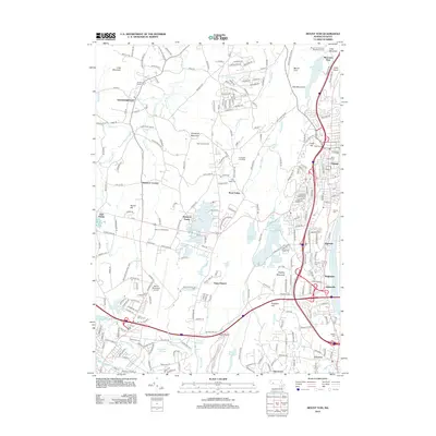
2012 Map of Mount Tom
USGS Topo · Published 2012About this map
Southampton and its neighboring districts serve as a vital corridor between the Connecticut River and the foothills of the Berkshires. The landscape is defined by the prominent ridge line of Mount Tom and East Mountain, which overlooks a dense network of water bodies and recreational sites. In the southern portion of the quadrangle, the infrastructure of Barnes Municipal Airport and the Whip City Speedway reflects the area's mid-century expansion into aviation and motor sports.
Find a feature on this map
262 named features on this map. Tap any name to fly to it.
Don’t see what you’re looking for? This feature index may not catch every label — zoom into the map to look around manually.
Map Details
Editions of this 2012 Mount Tom Map
This is the sole edition of this map. No revisions or reprints were ever made.
Other maps of this area

1885 · Northampton
USGS Topo · 1:62,500

1886 · Springfield
USGS Topo · 1:62,500

1886 · Chesterfield
USGS Topo · 1:62,500

1886 · Northampton
USGS Topo · 1:62,500

1887 · Granville
USGS Topo · 1:62,500

1888 · Chesterfield
USGS Topo · 1:62,500

1889 · Springfield
USGS Topo · 1:62,500

1889 · Granville
USGS Topo · 1:62,500

1891 · Northampton
USGS Topo · 1:62,500

1893 · Northampton
USGS Topo · 1:62,500