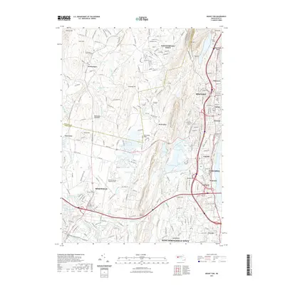
2021 Map of Mount Tom
USGS Topo · Published 2021About this map
Mount Tom and the Metacomet Ridge dominate the landscape between the Connecticut River and the rural reaches of Southampton. This survey captures the complex geographic interface where the industrial and educational centers of Holyoke and Chicopee meet the managed water systems of the McLean Reservoir, Ashley Pond, and Bearhole Reservoir. The transportation network is defined by the proximity of the Westfield-Barnes Regional Airport and the dense suburban development in neighborhoods like Ingleside, Oakdale, and Highlands.
Find a feature on this map
82 named features on this map. Tap any name to fly to it.
Don’t see what you’re looking for? This feature index may not catch every label — zoom into the map to look around manually.
Map Details
Editions of this 2021 Mount Tom Map
This is the sole edition of this map. No revisions or reprints were ever made.
Other maps of this area

1885 · Northampton
USGS Topo · 1:62,500

1886 · Springfield
USGS Topo · 1:62,500

1886 · Chesterfield
USGS Topo · 1:62,500

1886 · Northampton
USGS Topo · 1:62,500

1887 · Granville
USGS Topo · 1:62,500

1888 · Chesterfield
USGS Topo · 1:62,500

1889 · Springfield
USGS Topo · 1:62,500

1889 · Granville
USGS Topo · 1:62,500

1891 · Northampton
USGS Topo · 1:62,500

1893 · Northampton
USGS Topo · 1:62,500