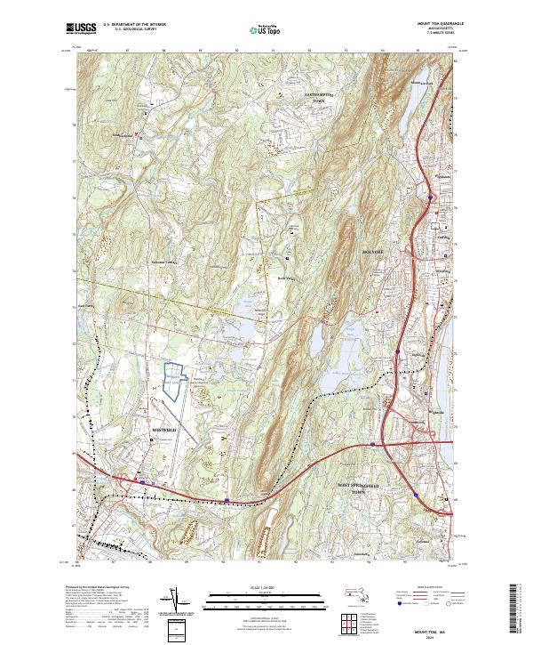
2024 Map of Mount Tom
USGS Topo · Published 2024About this map
Mount Tom Range and the peak of Mt Tom dominate the eastern landscape, forming a dramatic vertical boundary for the settlements of Westfield, Southampton, and Easthampton Town. This modern topographic study reveals a complex geography where aviation and industry meet natural conservation areas. The Barnes Map (ANG) and Westfield-Barnes Regional Airport occupy a significant central corridor, while the Connecticut River marks the southeastern edge near Brightside and Ingleside.
Find a feature on this map
237 named features on this map. Tap any name to fly to it.
Don’t see what you’re looking for? This feature index may not catch every label — zoom into the map to look around manually.
Map Details
Editions of this 2024 Mount Tom Map
This is the sole edition of this map. No revisions or reprints were ever made.
Other maps of this area

1885 · Northampton
USGS Topo · 1:62,500

1886 · Springfield
USGS Topo · 1:62,500

1886 · Chesterfield
USGS Topo · 1:62,500

1886 · Northampton
USGS Topo · 1:62,500

1887 · Granville
USGS Topo · 1:62,500

1888 · Chesterfield
USGS Topo · 1:62,500

1889 · Springfield
USGS Topo · 1:62,500

1889 · Granville
USGS Topo · 1:62,500

1891 · Northampton
USGS Topo · 1:62,500

1893 · Northampton
USGS Topo · 1:62,500