2022 Map of Mount Vernon
USGS Topo · Published 2022About this map
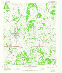
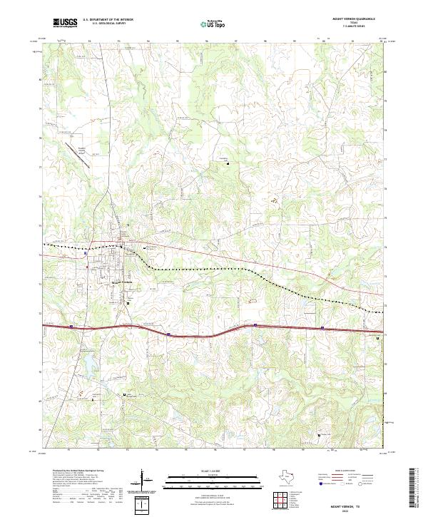
Mount Vernon serves as the focal point of this Northeast Texas landscape, where the Franklin County Courthouse anchor the central town grid. The street plan reflects its history with names like Cottonbelt St, recalling the region's railroad heritage. The surrounding countryside is defined by a dense network of watercourses, including Timber Cr, Bear Pen Cr, and Ripley Cr, which feed into several local bodies of water like Deal Lake and Lake Ione. Genealogists will find this sheet particularly valuable for its documentation of numerous burial sites scattered across the township and outlying rural areas, including Mount Vernon City Cem, Denton Cem, and Friendship Cem. To the north, the Franklin County Airport indicates the modern infrastructure supporting this rural county seat.
Find a feature on this map
84 named features on this map. Tap any name to fly to it.
Don’t see what you’re looking for? This feature index may not catch every label — zoom into the map to look around manually.
Map Details
Editions of this 2022 Mount Vernon Map
This is the sole edition of this map. No revisions or reprints were ever made.