
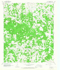
1964 Map of Mount Vernon
USGS Topo · Published 1967About this map
Mount Vernon serves as the focal point of this mid-1960s landscape, positioned at a vital junction of the ST Louis Southwestern railroad and regional roadways. The town’s social and civic infrastructure is clearly visible, featuring a concentrated grid that includes a County Hospital, Athletic Field, and an unnamed Cemetery. This layout reflects a period of established local government and utility expansion, evidenced by the Filtration Plant and the nearby Mount Vernon Municipal Reservoir.
Find a feature on this map
31 named features on this map. Tap any name to fly to it.
Don’t see what you’re looking for? This feature index may not catch every label — zoom into the map to look around manually.
Map Details
Editions of this 1964 Mount Vernon Map
This is the sole edition of this map. No revisions or reprints were ever made.
Other maps of this area

1953 · Texarkana
USGS Topo · 1:250,000

1956 · Texarkana
USGS Topo · 1:250,000

1963 · Mitchell Creek
USGS Topo · 1:24,000

1964 · Saltillo
USGS Topo · 1:24,000

1964 · Talco
USGS Topo · 1:24,000

1964 · Hagansport
USGS Topo · 1:24,000

1964 · Purley
USGS Topo · 1:24,000

1965 · Winfield
USGS Topo · 1:24,000

1965 · Monticello
USGS Topo · 1:24,000
1965 · New Hope
USGS Topo · 1:24,000