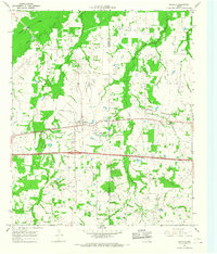
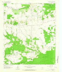
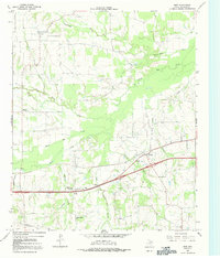
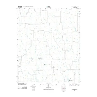
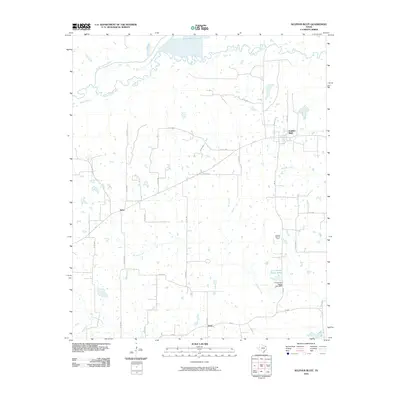
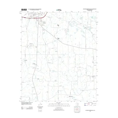
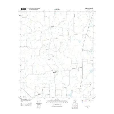
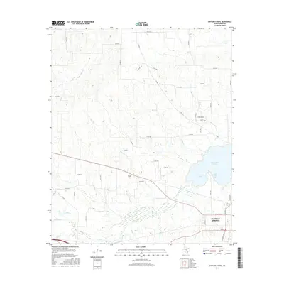
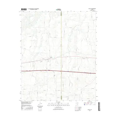
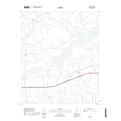
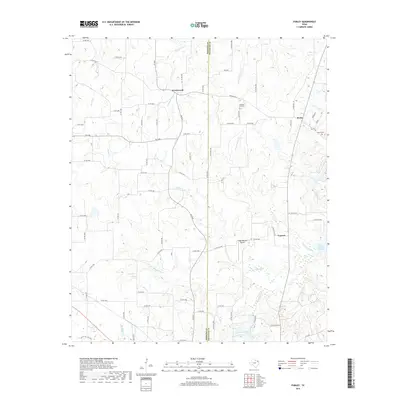
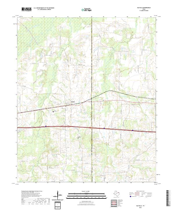
1964 Map of Saltillo
USGS Topo · Published 1967About this map
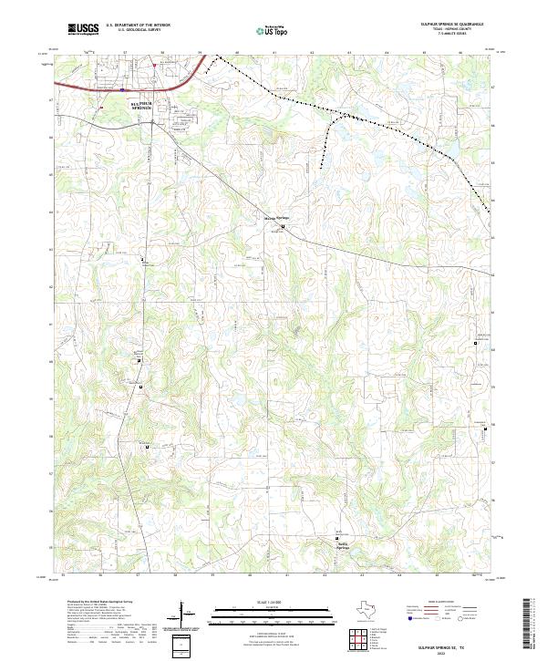
Saltillo and the surrounding East Texas countryside are defined by a network of creeks and early community centers along the St Louis Southwestern railroad. The landscape is carved by White Oak Creek, Timber Creek, and Stouts Creek, which dictate the placement of farms and small settlements. Local heritage is deeply rooted in the numerous rural congregations and burial grounds, such as Old Saltillo Ch, Union Center Grove Ch, and the Stouts Creek Cem located just west of the main village.
Find a feature on this map
23 named features on this map. Tap any name to fly to it.
Don’t see what you’re looking for? This feature index may not catch every label — zoom into the map to look around manually.
Map Details
Editions of this 1964 Saltillo Map
This is the sole edition of this map. No revisions or reprints were ever made.
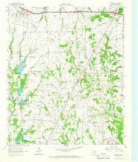
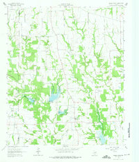
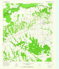
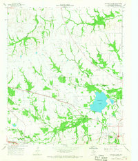
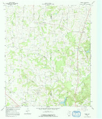
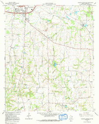
Historical Maps of Saltillo Through Time
54 maps found
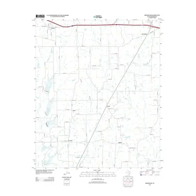
1962 Brashear
Hopkins County, TX
1962 Miller Grove
Hopkins County, TX
1962 Sulphur Bluff
Hopkins County, TX
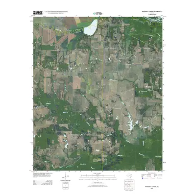
1963 Mitchell Creek
Hopkins County, TX
1964 Gafford Chapel
Hopkins County, TX
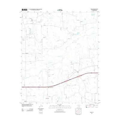
1964 Purley
Hopkins County, TX
1964 Saltillo
Hopkins County, TX
1964 Sulphur Springs SE
Hopkins County, TX
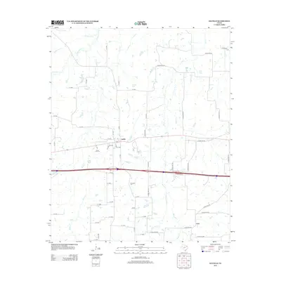
1965 Dike
Hopkins County, TX
2010 Brashear
Hopkins County, TX
2010 Dike
Hopkins County, TX
2010 Gafford Chapel
Hopkins County, TX
2010 Miller Grove
Hopkins County, TX
2010 Mitchell Creek
Hopkins County, TX
2010 Purley
Hopkins County, TX
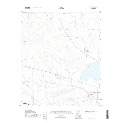
2010 Saltillo
Hopkins County, TX
2010 Sulphur Bluff
Hopkins County, TX
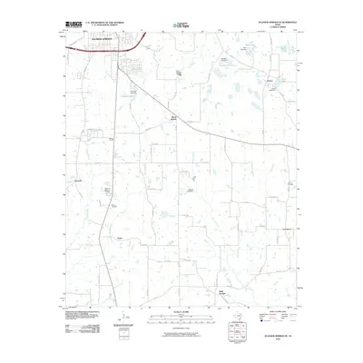
2010 Sulphur Springs SE
Hopkins County, TX
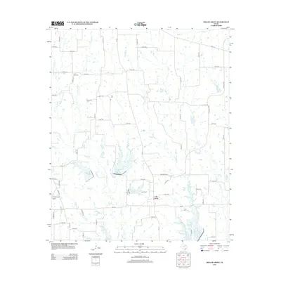
2012 Miller Grove
Hopkins County, TX
2012 Saltillo
Hopkins County, TX
2012 Sulphur Springs SE
Hopkins County, TX
2013 Brashear
Hopkins County, TX
2013 Dike
Hopkins County, TX

2013 Gafford Chapel
Hopkins County, TX
2013 Mitchell Creek
Hopkins County, TX
2013 Purley
Hopkins County, TX
2013 Sulphur Bluff
Hopkins County, TX
2016 Brashear
Hopkins County, TX
2016 Dike
Hopkins County, TX
2016 Gafford Chapel
Hopkins County, TX
2016 Miller Grove
Hopkins County, TX
2016 Mitchell Creek
Hopkins County, TX
2016 Purley
Hopkins County, TX
2016 Saltillo
Hopkins County, TX
2016 Sulphur Bluff
Hopkins County, TX
2016 Sulphur Springs SE
Hopkins County, TX
2019 Brashear
Hopkins County, TX
2019 Dike
Hopkins County, TX
2019 Gafford Chapel
Hopkins County, TX
2019 Miller Grove
Hopkins County, TX
2019 Mitchell Creek
Hopkins County, TX
2019 Purley
Hopkins County, TX
2019 Saltillo
Hopkins County, TX
2019 Sulphur Bluff
Hopkins County, TX
2019 Sulphur Springs SE
Hopkins County, TX
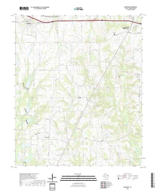
2022 Brashear
Hopkins County, TX
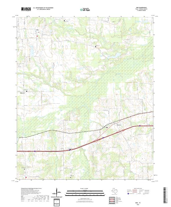
2022 Dike
Hopkins County, TX
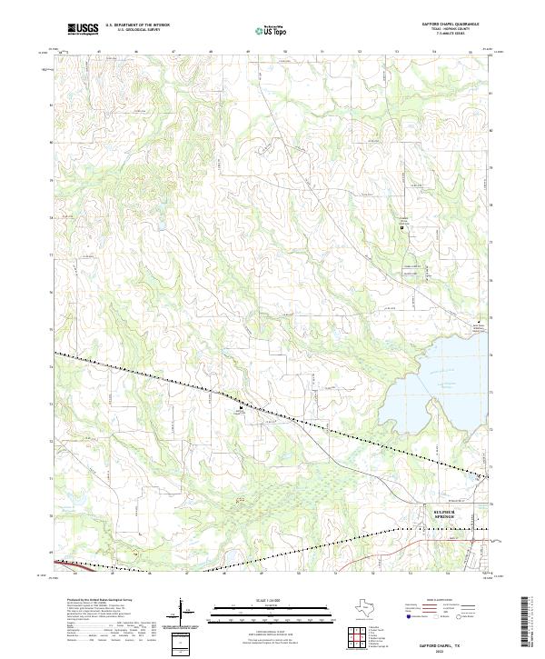
2022 Gafford Chapel
Hopkins County, TX
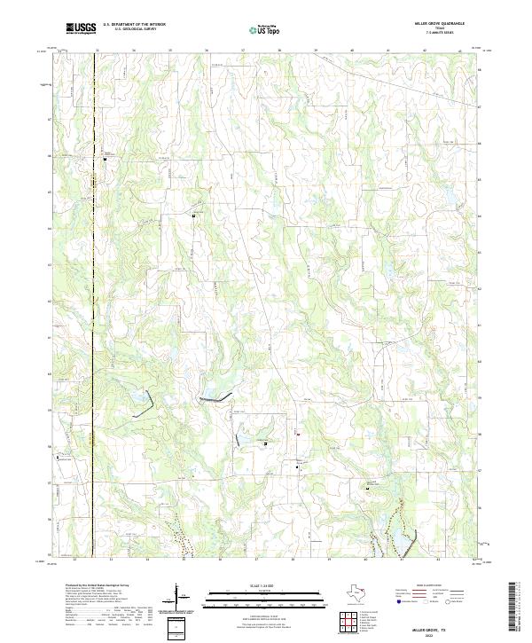
2022 Miller Grove
Hopkins County, TX
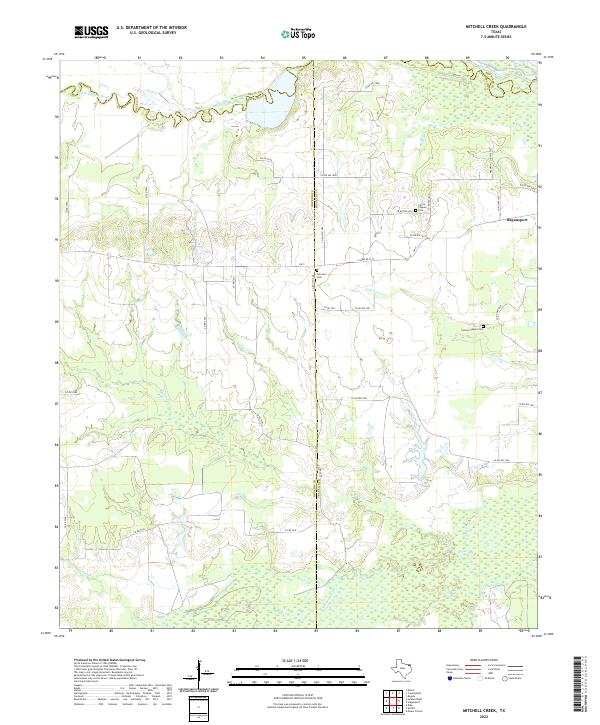
2022 Mitchell Creek
Hopkins County, TX
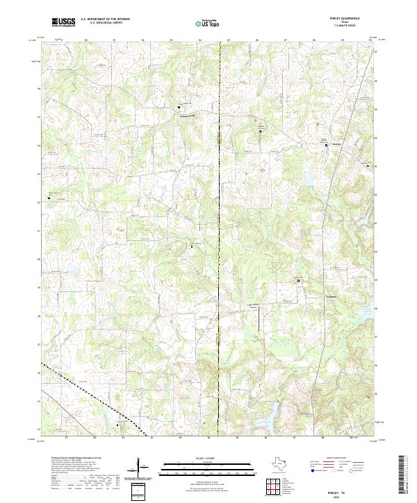
2022 Purley
Hopkins County, TX
2022 Saltillo
Hopkins County, TX
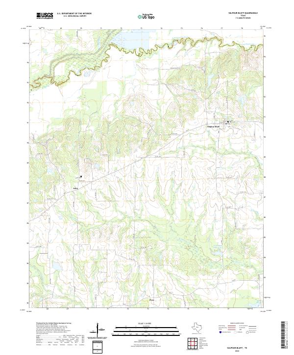
2022 Sulphur Bluff
Hopkins County, TX
2022 Sulphur Springs SE
Hopkins County, TX