Loading...
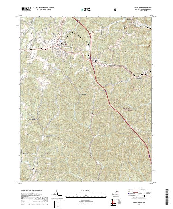
Loading map...2022 Map of Mount Vernon
USGS Topo · Published 2022About this map
The Rockcastle County Courthouse stands as the centerpiece of Mount Vernon, the seat of local government in this central Kentucky landscape. This 2022 survey details the intricate network of hollows and ridges that define the region, including Lime Plant Hollow and Penick Hollow. Residential and commercial developments are concentrated along Richmond St and Old Dixie Hwy, while the surrounding countryside is dotted with small settlements like Burr and Orlando.
Find a feature on this map
94 named features on this map. Tap any name to fly to it.
Don’t see what you’re looking for? This feature index may not catch every label — zoom into the map to look around manually.
Map Details
Date Portrayed2022
Date Published2022
PublisherU.S. Geological Survey
Map TypeTopographic
Scale1:24000
Physical Dimensions24 x 29 inches
Editions of this 2022 Mount Vernon Map
This is the sole edition of this map. No revisions or reprints were ever made.
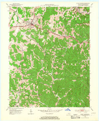
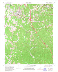
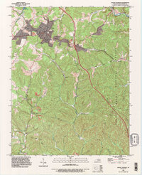
Historical Maps of Wellhope Through Time
4 maps found
Featured Locations
Source Details
SourceU.S. Geological Survey
CopyrightPublic Domain