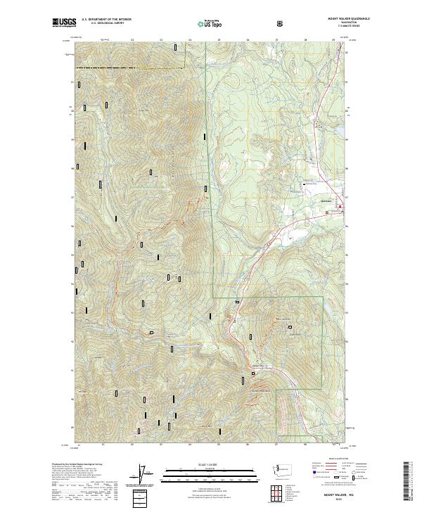
2023 Map of Mount Walker
USGS Topo · Published 2023About this map
Quilcene sits as the primary settlement where the Big Quilcene River and Little Quilcene River approach the Hood Canal within the Olympic National Forest. The landscape is dominated by the steep peaks of the Quilcene Range, including Mt Walker and Mt Crag, which overlook a network of specialized infrastructure such as the Quilcene National Fish Hatchery.
Find a feature on this map
65 named features on this map. Tap any name to fly to it.
Don’t see what you’re looking for? This feature index may not catch every label — zoom into the map to look around manually.
Map Details
Editions of this 2023 Mount Walker Map
This is the sole edition of this map. No revisions or reprints were ever made.
Other maps of this area

1936 · Point Misery
USGS Topo · 1:62,500

1938 · Mt Constance
USGS Topo · 1:125,000

1940 · Point Misery
USGS Topo · 1:62,500

1940 · Quilcene
USGS Topo · 1:62,500

1946 · Tyler Peak
USGS Topo · 1:62,500

1947 · The Brothers
USGS Topo · 1:62,500

1948 · Tyler Peak
USGS Topo · 1:62,500

1950 · The Brothers
USGS Topo · 1:62,500

1953 · Seabeck
USGS Topo · 1:24,000

1953 · Quilcene
USGS Topo · 1:24,000