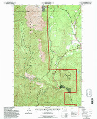
1995 Map of Mount Walker
USGS Topo · Published 1997About this map
Quilcene serves as the primary hub of this 1990s Jefferson County survey, which details the rugged intersection of the Olympic Peninsula's water systems and timberlands. The landscape is defined by the Big Quilcene River and Little Quilcene River, both of which are managed by significant infrastructure including the Big Quilcene Dam and Little Quilcene Dam. These water sources are vital to the local economy and ecology, supporting the US Fish Hatchery located just south of the town center.
Find a feature on this map
34 named features on this map. Tap any name to fly to it.
Don’t see what you’re looking for? This feature index may not catch every label — zoom into the map to look around manually.
Map Details
Editions of this 1995 Mount Walker Map
This is the sole edition of this map. No revisions or reprints were ever made.
Other maps of this area

1936 · Point Misery
USGS Topo · 1:62,500

1938 · Mt Constance
USGS Topo · 1:125,000

1940 · Point Misery
USGS Topo · 1:62,500

1940 · Quilcene
USGS Topo · 1:62,500

1946 · Tyler Peak
USGS Topo · 1:62,500

1947 · The Brothers
USGS Topo · 1:62,500

1948 · Tyler Peak
USGS Topo · 1:62,500

1950 · The Brothers
USGS Topo · 1:62,500

1953 · Seabeck
USGS Topo · 1:24,000

1953 · Quilcene
USGS Topo · 1:24,000