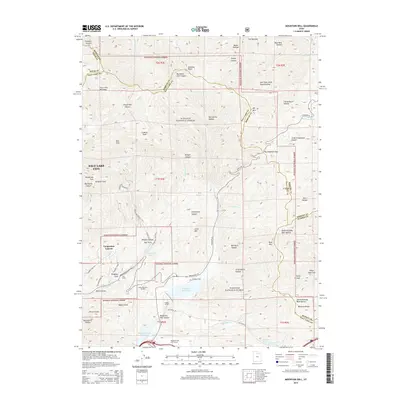
2014 Map of Mountain Dell
USGS Topo · Published 2014About this map
Wasatch National Forest dominates this landscape northeast of Salt Lake City, where the geography of the Wasatch Range meets critical water infrastructure. The map depicts a rugged interface of steep canyons and high peaks like Lookout Peak and Bald Mtn, providing a backdrop for the Little Dell Reservoir and Mountain Dell Reservoir. Historically significant sites are noted along the drainages, including the location of Last Camp near Brigham Fork, signaling the area's importance as a passage toward the valley below.
Find a feature on this map
77 named features on this map. Tap any name to fly to it.
Don’t see what you’re looking for? This feature index may not catch every label — zoom into the map to look around manually.
Map Details
Editions of this 2014 Mountain Dell Map
This is the sole edition of this map. No revisions or reprints were ever made.
Other maps of this area

1885 · Salt Lake
USGS Topo · 1:250,000

1925 · Ft. Douglas
USGS Topo · 1:125,000

1928 · Ft. Douglas
USGS Topo · 1:125,000

1950 · Fort Douglas
USGS Topo · 1:24,000

1951 · Fort Douglas
USGS Topo · 1:24,000

1952 · Sugar House
USGS Topo · 1:24,000

1952 · Bountiful Peak
USGS Topo · 1:24,000

1954 · Salt Lake City
USGS Topo · 1:250,000

1955 · Mount Aire
USGS Topo · 1:24,000

1955 · Park City West
USGS Topo · 1:24,000