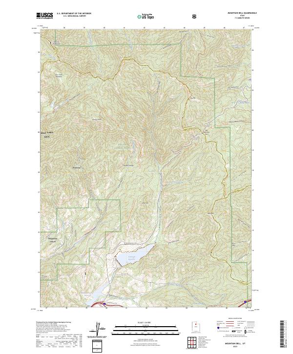
2023 Map of Mountain Dell
USGS Topo · Published 2023About this map
The eastern edges of Salt Lake City give way to the steep canyons of the Wasatch National Forest in this topographic survey. The landscape is defined by its vital water management and historical corridors, notably where the Mormon Trl crosses through Big Mountain Pass and descends toward the valley. Significant modern infrastructure is present in the form of the Little Dell Reservoir and Mountain Dell Reservoir, which capture runoff from the Wasatch Range. Small settlements like Pinecrest and the residential stretches of Emigration Canyon are tucked into the drainages of Emigration Creek. Long-standing mountain routes, including The Sheep Trl and the Ridgeline Trl, traverse the high ridges between Lookout Peak and the Sessions Mountains, illustrating the area's transition from historical pioneer paths to contemporary recreational and water-resource lands.
Find a feature on this map
65 named features on this map. Tap any name to fly to it.
Don’t see what you’re looking for? This feature index may not catch every label — zoom into the map to look around manually.
Map Details
Editions of this 2023 Mountain Dell Map
This is the sole edition of this map. No revisions or reprints were ever made.
Other maps of this area

1885 · Salt Lake
USGS Topo · 1:250,000

1925 · Ft. Douglas
USGS Topo · 1:125,000

1928 · Ft. Douglas
USGS Topo · 1:125,000

1950 · Fort Douglas
USGS Topo · 1:24,000

1951 · Fort Douglas
USGS Topo · 1:24,000

1952 · Sugar House
USGS Topo · 1:24,000

1952 · Bountiful Peak
USGS Topo · 1:24,000

1954 · Salt Lake City
USGS Topo · 1:250,000

1955 · Mount Aire
USGS Topo · 1:24,000

1955 · Park City West
USGS Topo · 1:24,000