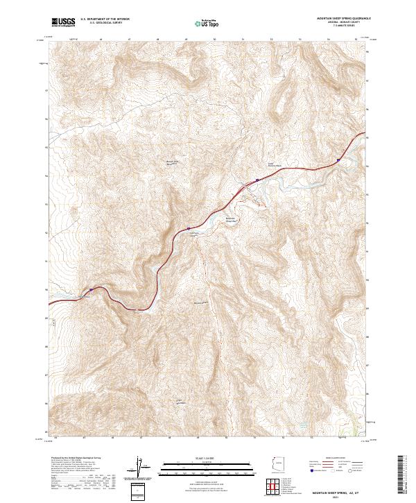
2021 Map of Mountain Sheep Spring
USGS Topo · Published 2021About this map
The Virgin River carves a deep path through this northwest corner of Arizona, defining the corridor where the Mojave Desert meets the high elevations of the Virgin Mountains and Beaver Dam Mountains. The topography is dominated by dramatic drainage patterns and steep-walled features such as The Narrows and Sullivans Canyon.
Find a feature on this map
21 named features on this map. Tap any name to fly to it.
Don’t see what you’re looking for? This feature index may not catch every label — zoom into the map to look around manually.
Map Details
Editions of this 2021 Mountain Sheep Spring Map
This is the sole edition of this map. No revisions or reprints were ever made.
Other maps of this area

1885 · St. George
USGS Topo · 1:250,000

1886 · Mt. Trumbull
USGS Topo · 1:250,000

1891 · St. George
USGS Topo · 1:250,000

1892 · Mt. Trumbull
USGS Topo · 1:250,000

1953 · Cedar City
USGS Topo · 1:250,000

1953 · Grand Canyon
USGS Topo · 1:250,000

1954 · Wolf Hole Mtn. NW
USGS Topo · 1:24,000

1954 · Beaver Dam Mts SE
USGS Topo · 1:24,000

1954 · St. George
USGS Topo · 1:62,500

1954 · Littlefield
USGS Topo · 1:62,500