Loading...
Loading map...2023 Map of Mountainair
USGS Topo · Published 2023About this map
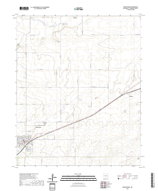
Mountainair stands as the primary hub of this high-desert landscape in Torrance County, situated where the high plains meet the foothills. The town's grid is detailed down to streets like McKinley Ave and N Dunn Ave, revealing the residential and commercial layout south of the Mountainair Municipal Airport. The surrounding terrain is defined by its drainage patterns, most notably the seasonal watercourses of Arroyo de Manzano to the north and Mesteno Draw in the west.
Find a feature on this map
55 named features on this map. Tap any name to fly to it.
Don’t see what you’re looking for? This feature index may not catch every label — zoom into the map to look around manually.
Map Details
Date Portrayed2023
Date Published2023
PublisherU.S. Geological Survey
Map TypeTopographic
Scale1:24000
Physical Dimensions24 x 29 inches
Editions of this 2023 Mountainair Map
This is the sole edition of this map. No revisions or reprints were ever made.
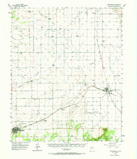
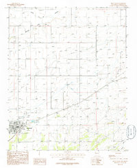
Historical Maps of Mountainair Through Time
3 maps found
Featured Locations
Source Details
SourceU.S. Geological Survey
CopyrightPublic Domain