
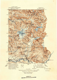
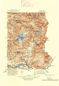
1915 Map of Mt. Baker
USGS Topo · Published 1925About this map
The glacial systems of Mt Baker dominate this early 20th-century survey, revealing a landscape where mountain wilderness met early industrial and ranching outposts. Along the Skagit River valley, the Great Northern railroad links settlements such as Hamilton, Birdsview, and Concrete, supporting a burgeoning local economy. The map documents early resource infrastructure, including the Excelsior Power Plant on the Nooksack River and the Lone Jack Mine near the northern border.
Find a feature on this map
84 named features on this map. Tap any name to fly to it.
Don’t see what you’re looking for? This feature index may not catch every label — zoom into the map to look around manually.
Map Details
Editions of this 1915 Mt. Baker Map
3 editions found
Other maps of this area

1899 · Glacier Peak
USGS Topo · 1:125,000

1899 · Stillaguamish
USGS Topo · 1:125,000

1901 · Glacier Peak
USGS Topo · 1:125,000

1901 · Stilaguamish
USGS Topo · 1:125,000

1909 · Mt Baker
USGS Topo · 1:192,000

1911 · Mount Vernon
USGS Topo · 1:125,000

1919 · Van Zandt
USGS Topo · 1:62,500

1921 · Wickersham
USGS Topo · 1:62,500

1944 · Clear Lake
USGS Topo · 1:62,500

1951 · Wickersham
USGS Topo · 1:62,500